Discover ontario's gold rush.
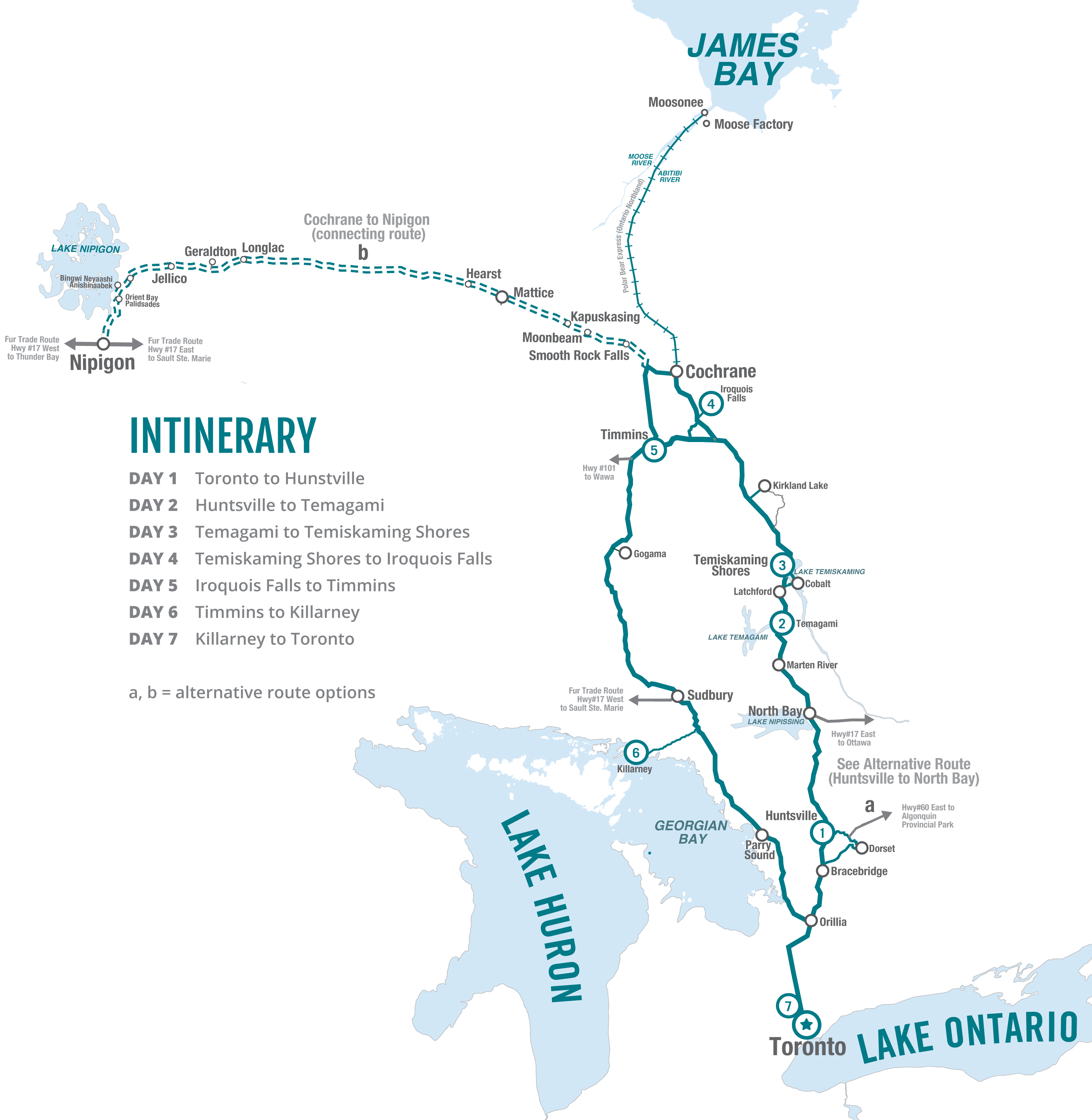
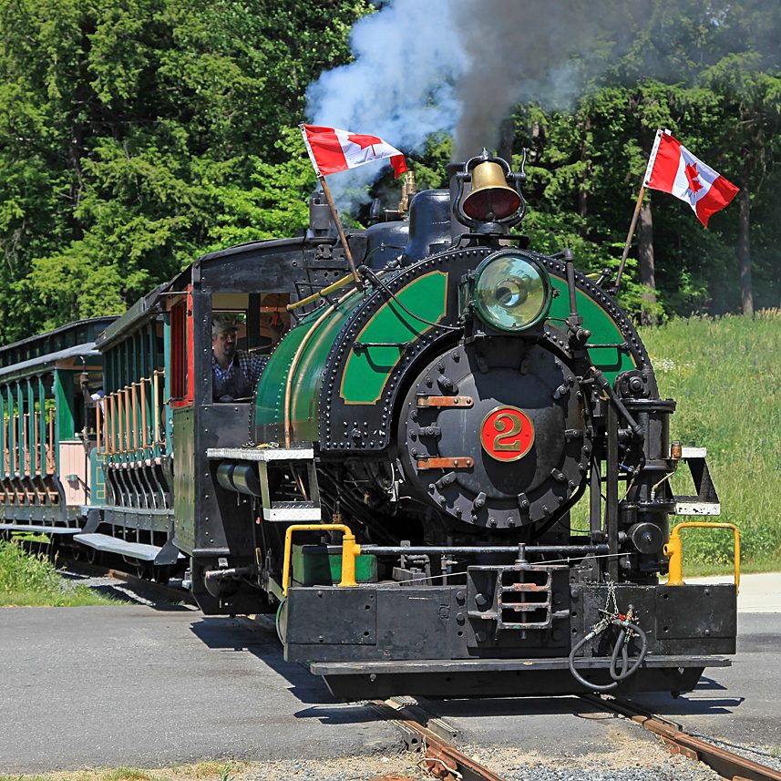
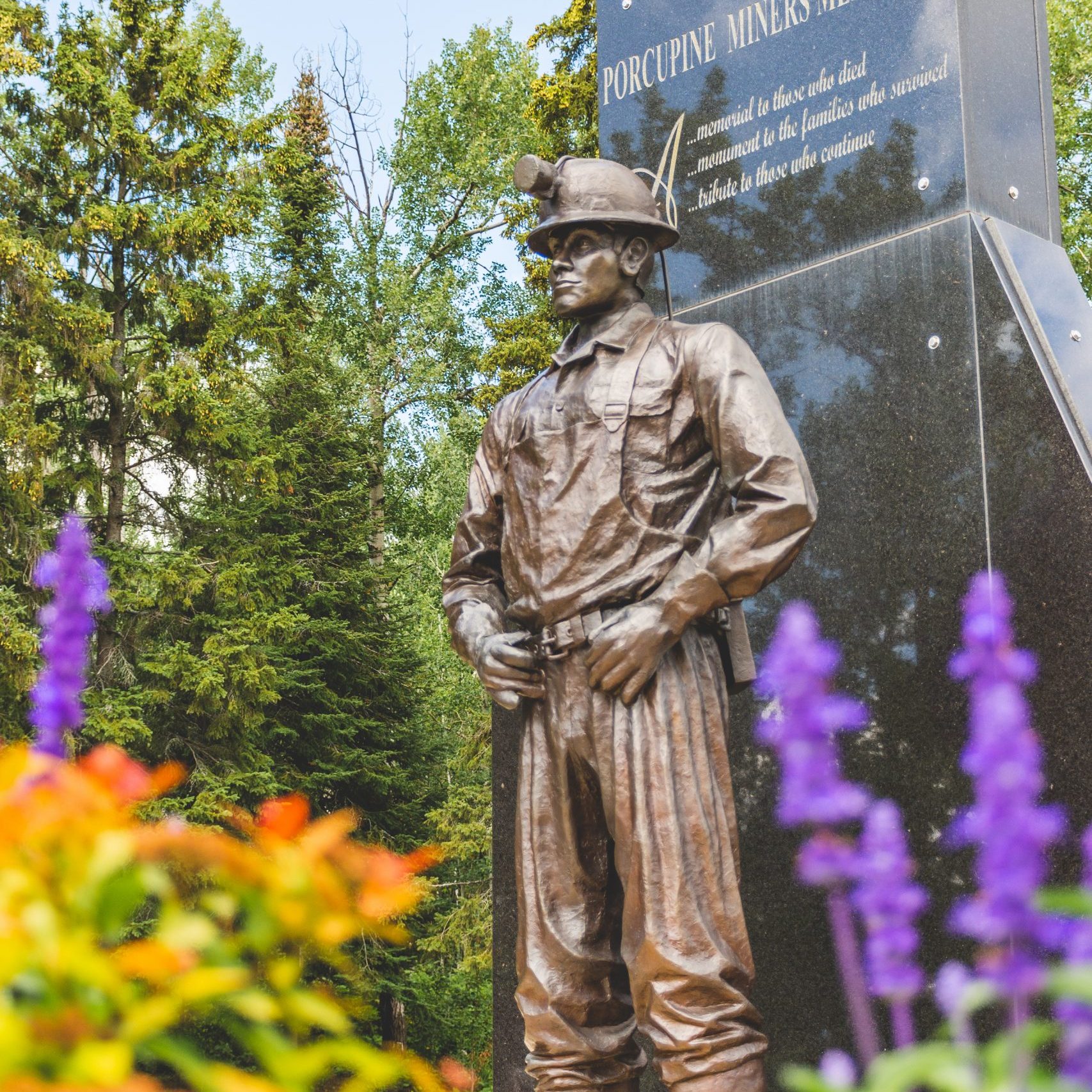
The Prospector Route encapsulates the significance of hardrock mining and the tourism attractions that are lined up in a relatively small, easily accessible circuit in Northeastern Ontario.
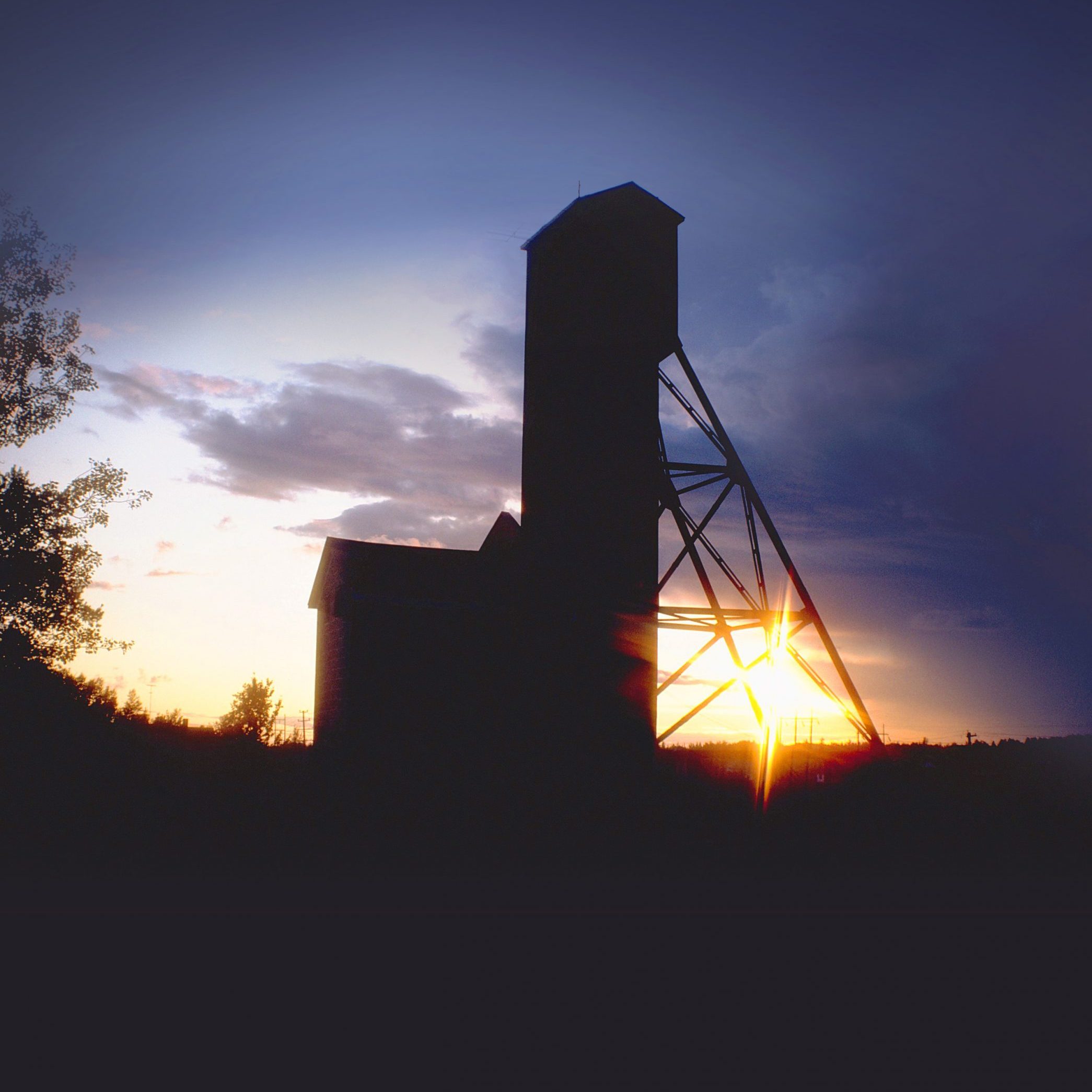
Buried deep in the vast Canadian Shield are the valuable minerals that have enriched development of mines and towns concentrated in Northeastern Ontario.
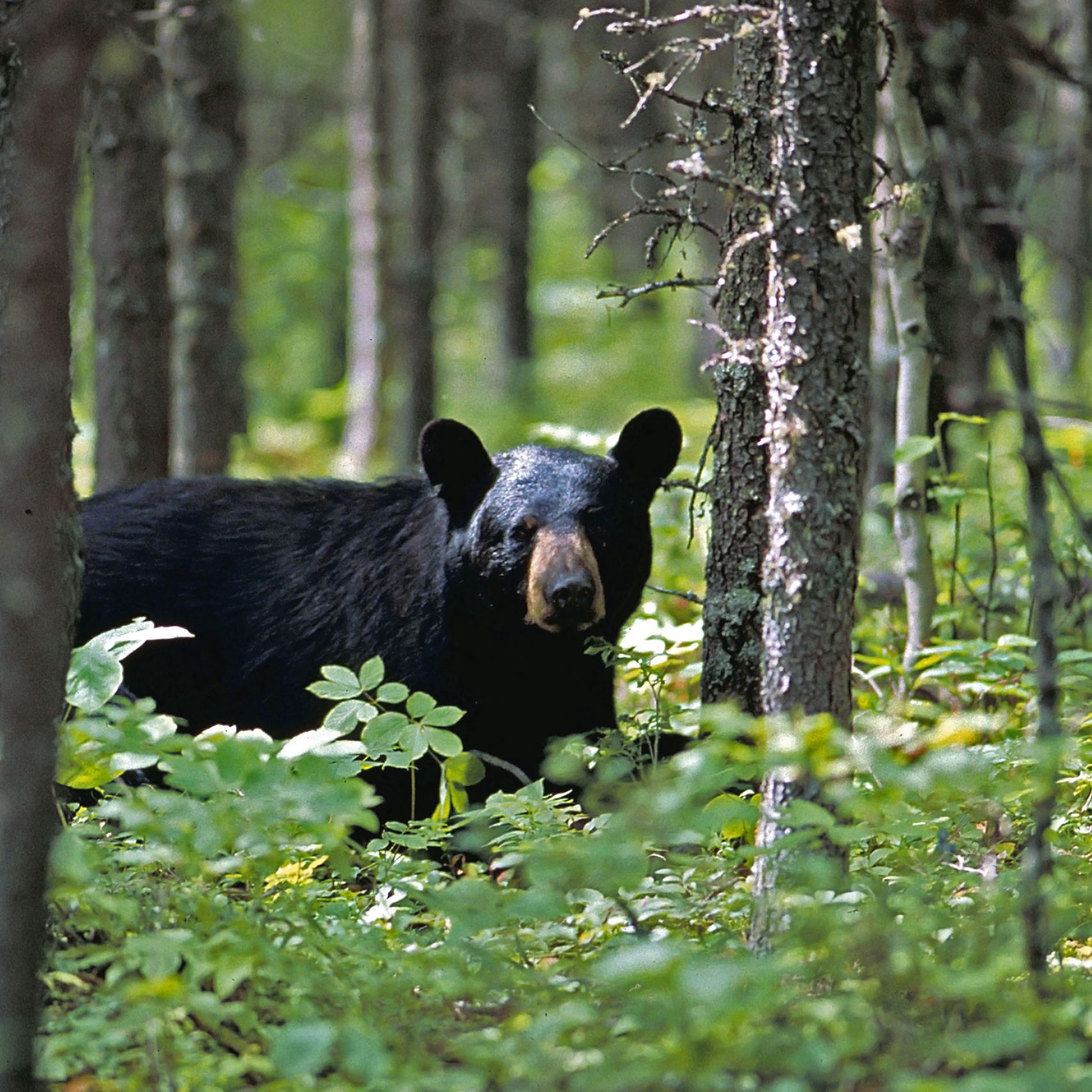
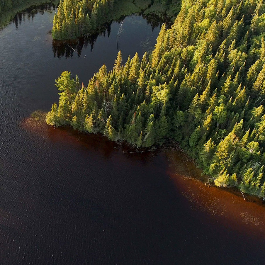
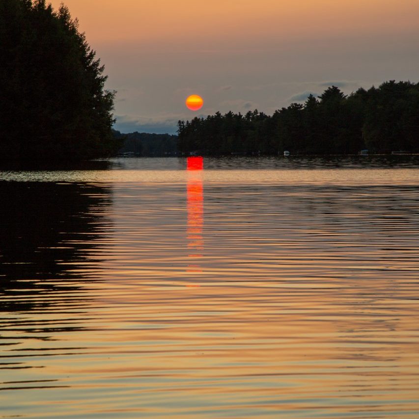
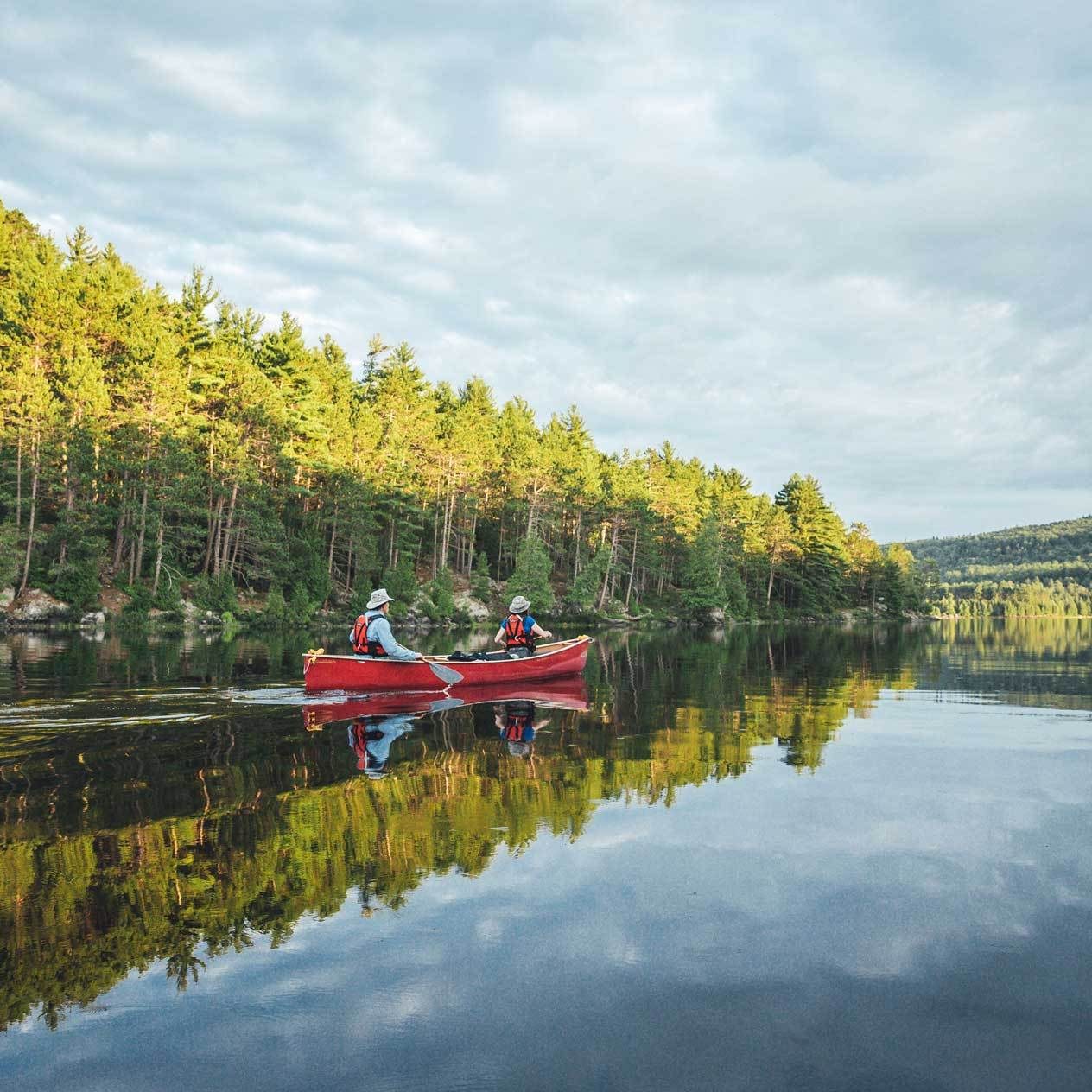
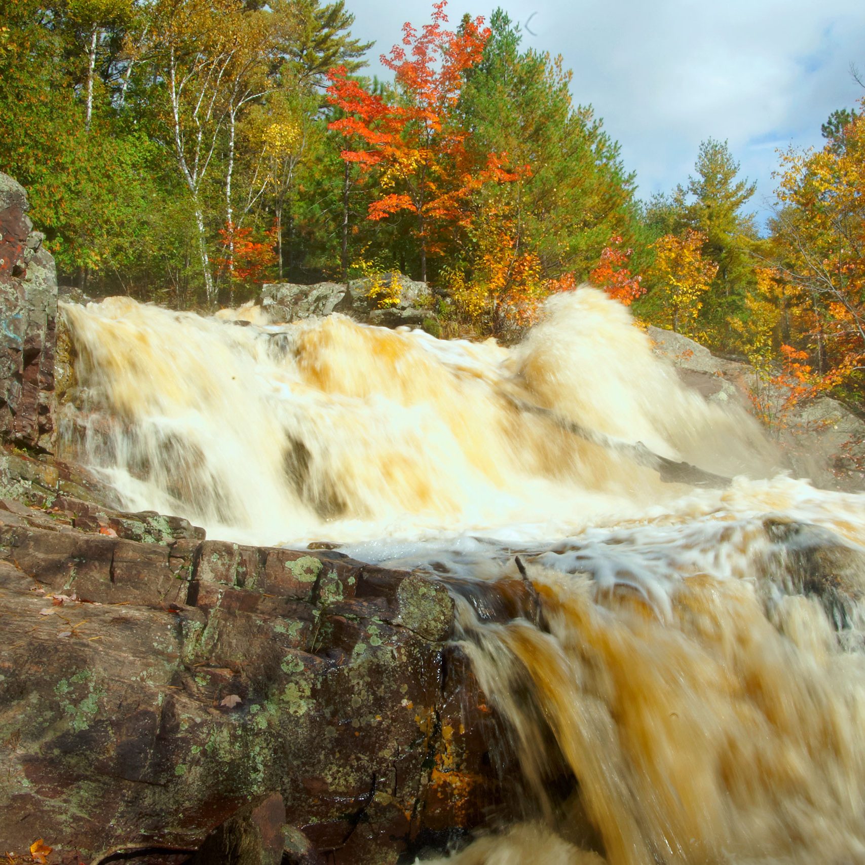
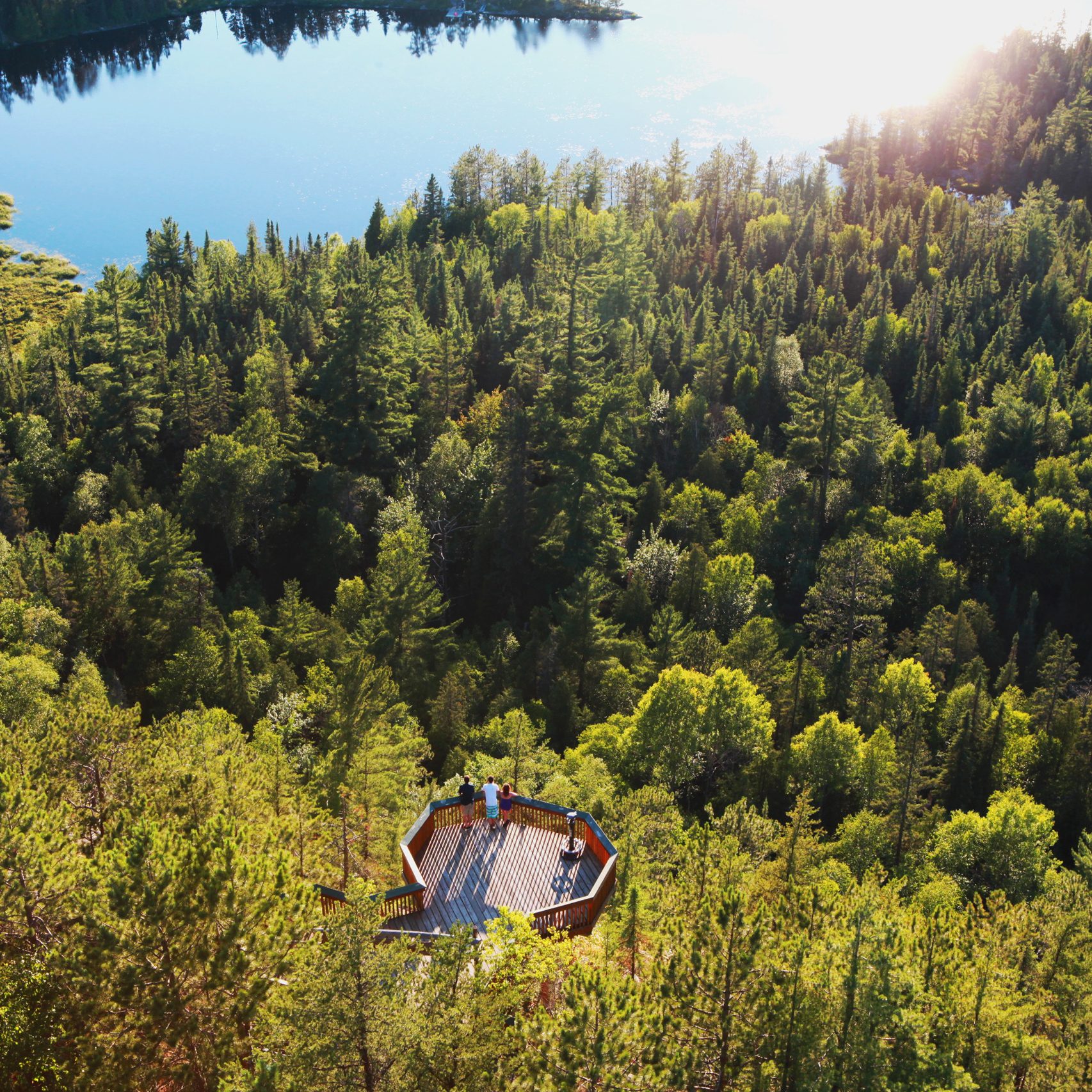
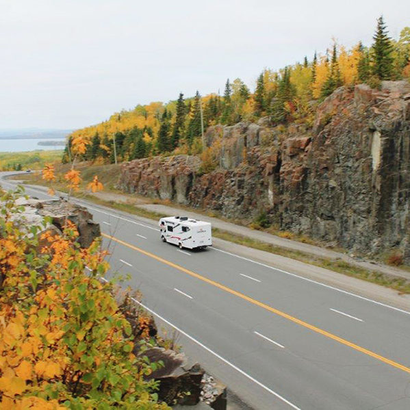
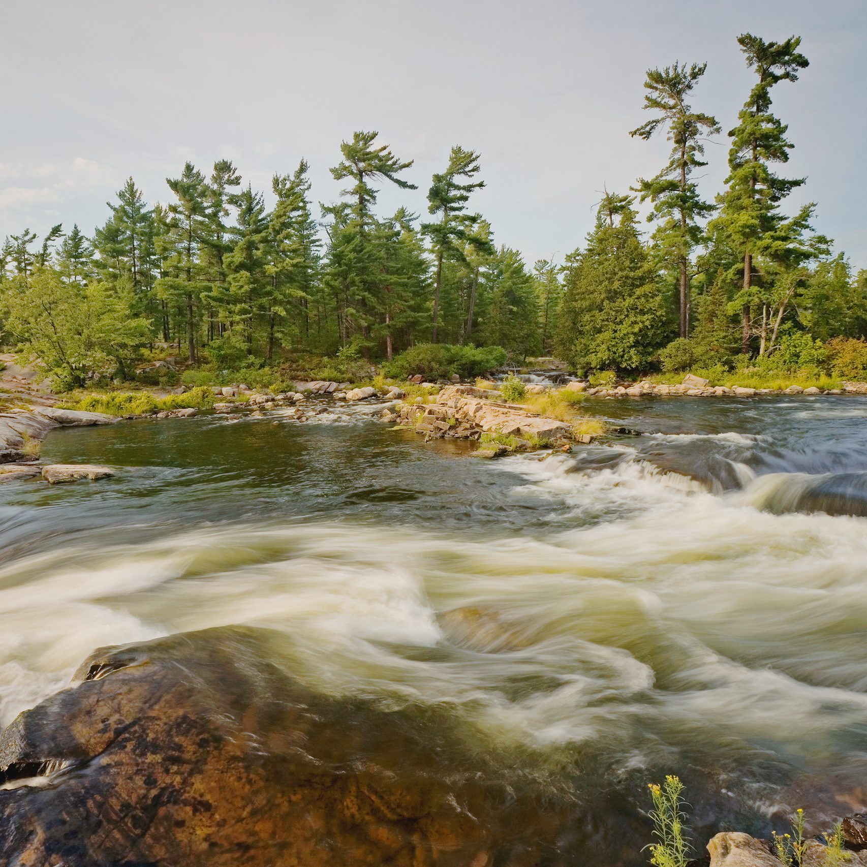
The circle tour covers a wilderness region of Boreal Forest, with vast stands of stately red and white pine forests, and where waterfalls and tumbling rapids connect lakes to resorts and campgrounds.
Download a copy of the Ontario RV Touring Guide.
Toronto to Huntsville
3 h 20 min / 390 km
Huntsville to Temagami:
2 h 40 min / 230 km
Temagami to Temiskaming Shores
45 min / 60 km
Temiskaming Shores to Iroquois Falls
2 h / 180 km
Iroquois Falls to Cochrane
40 min / 50 km
Cochrane to Timmins
1 h 10 min / 105 km
Timmins to Sudbury
3 h 25 min / 300 km
Sudbury to Killarney
1 h 20 min / 110 km
Killarney to Toronto
4 h 25 min / 430 km
Remote sections on Northern highways:
Watch for sudden weather changes with heavy snow and wind on isolated stretches of highways with few or no services during April and early May in Spring, and late September–October. Keep an eye on your fuel and propane before heading north where gas stations may close in the evening, and on Sundays.
ROUTE HIGHLIGHTS
TOP 10 TOUR HIGHLIGHTS
01 Chief Commanda – Cruise on Lake Nipissing – North Bay
02 Glory Hole – Cobalt Mining District National Historic Site – Cobalt
03 Sir Harry Oakes Manor – Kirkland Lake
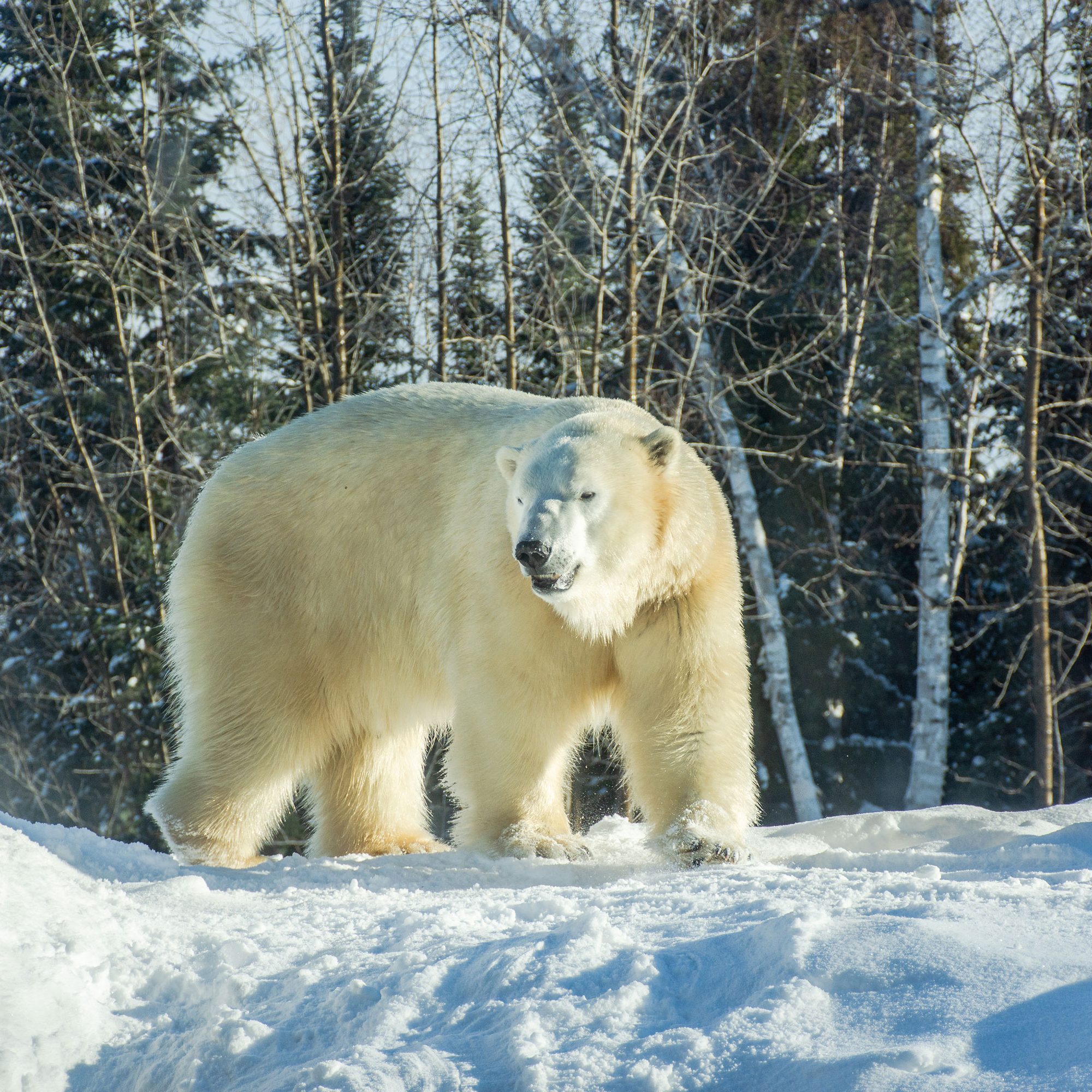
04 Canadian Polar Bear Habitat – Cochrane
05 Hollinger Gold Mine – Open Pit Mine – Timmins
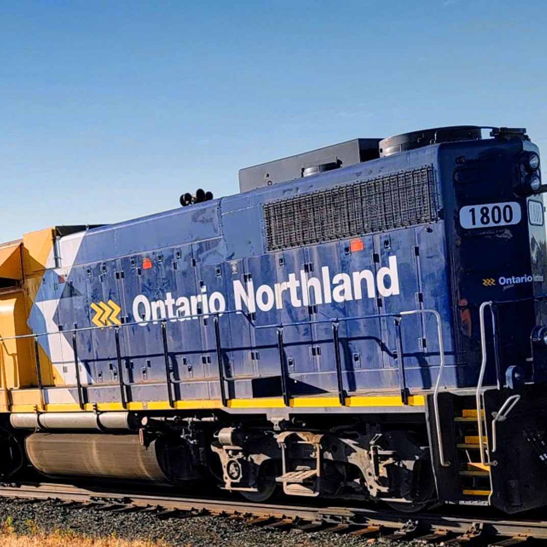
06 The Polar Bear Express – Train to James Bay – Cochrane to Moosonee
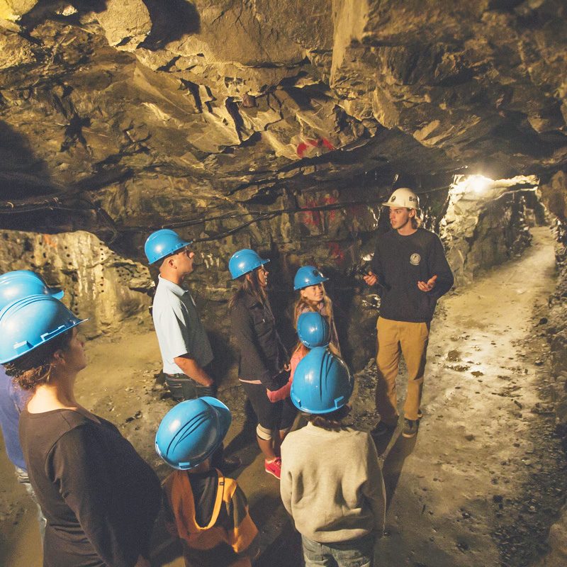
07 Dynamic Earth – Underground Mine Tour – Sudbury
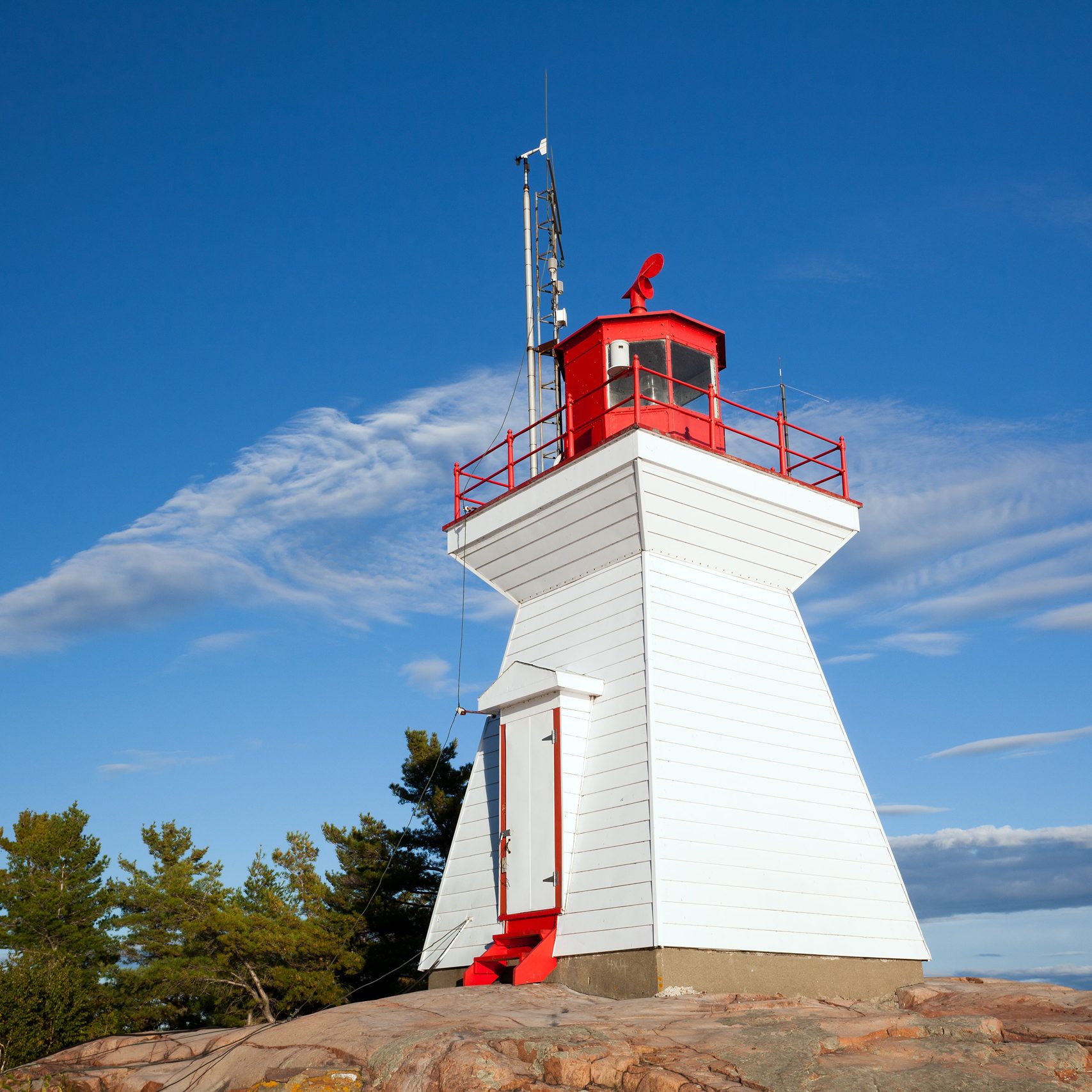
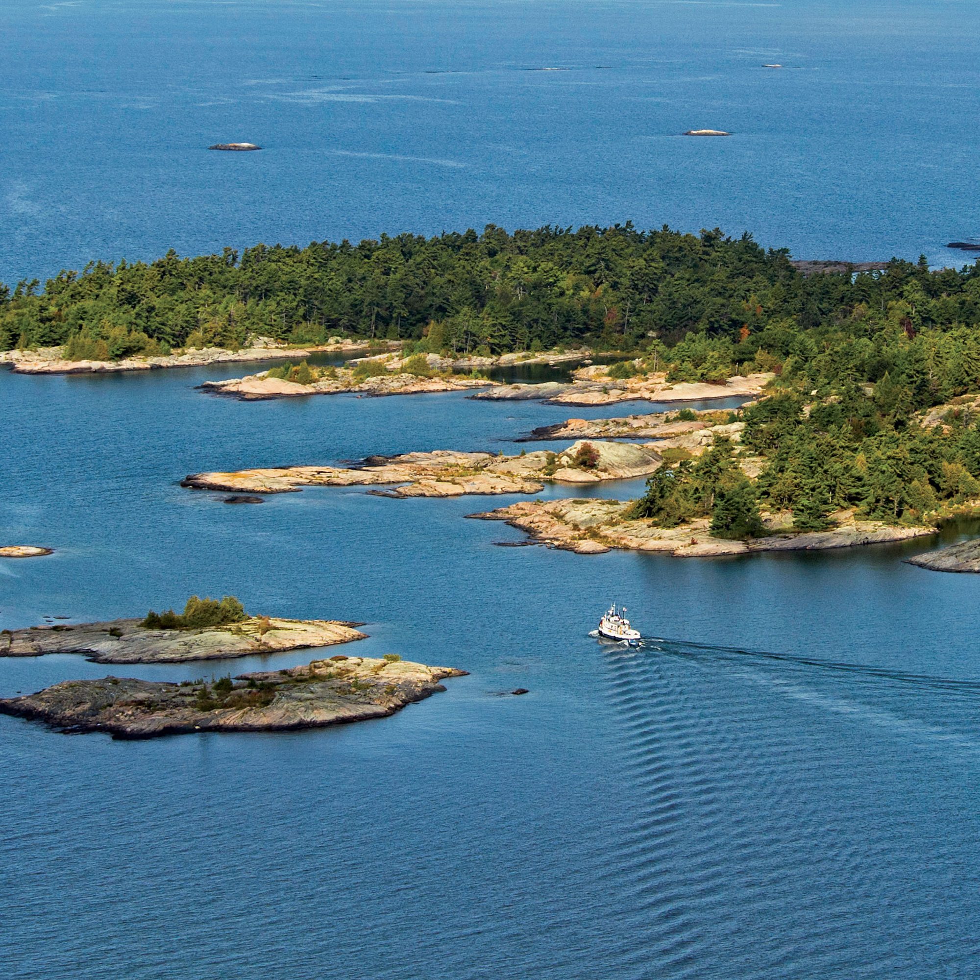
08 Killarney Provincial Park – Georgian Bay
09 French River Museum – French River Provincial Park (first designated Canadian Heritage River)
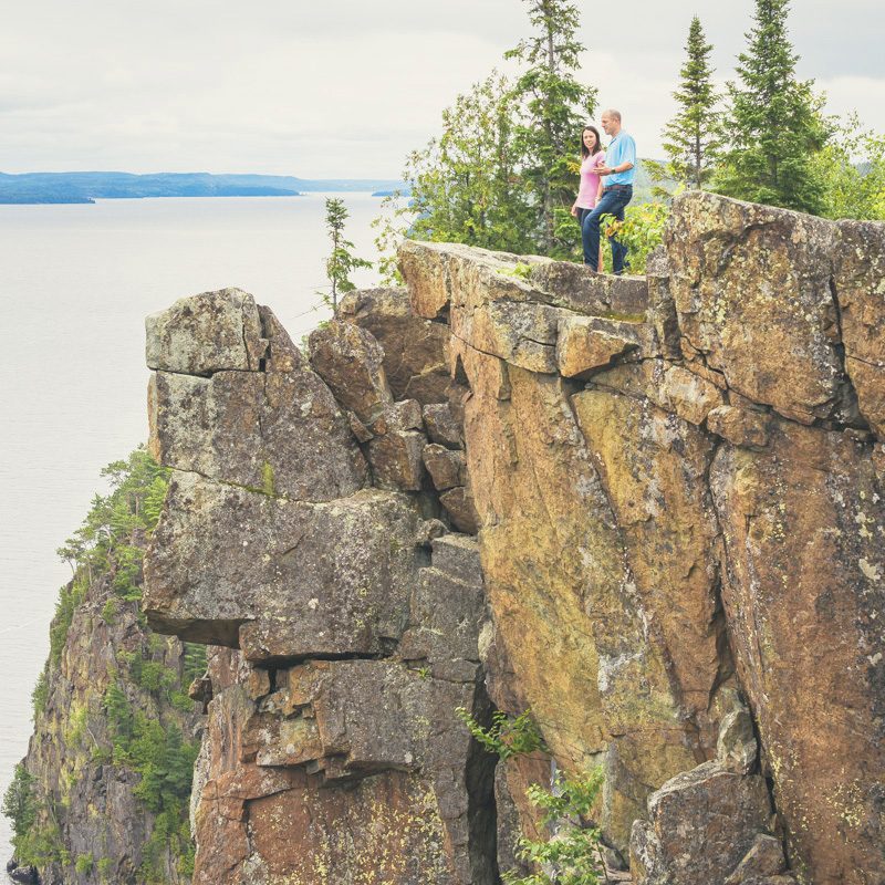
10 Orient Bay Palisades – Lake Nipigon
Cochrane to Nipigon
This extension of The Prospector Route runs 700 km along the most northerly highway between Cochrane and Nipigon. Not as well travelled by tourists, the miles of muskeg and black spruce provide evidence of the back woods wilderness where moose abound. The history of the fur trade, lumbering and mining and railroading highlights the remoteness and ruggedness of survival in the Canadian north.
Francophone communities are spread across the North as far as Hearst and throughout most of Algoma country. Hwy #11 parallels the original route the Transcontinental Railway between Longlac and Kapuskasing.
Day 01
TORONTO / HUNTSVILLE / ALGONQUIN PROVINCIAL PARK
Day 02
ALGONQUIN PROVINCIAL PARK / NORTH BAY / TEMAGAMI

Day 03
TEMAGAMI / COBALT / TEMISKAMING SHORES
DAY 05
IROQUOIS FALLS / COCHRANE / TIMMINS
DAY 07
KILLARNEY / FRENCH RIVER / TORONTO
Ontario Parks
There are numerous Provincial Parks along the Fur Trade Route. Most of these parks open in late May and close in September. A park pass is required and must be displayed on the dash of a vehicle at all times. Electrical, fresh water and sani-dumps are available in all provincial parks that accommodate RV camping.
Campsite reservations:
1-888-668-7275
www.ontarioparks.com
Ontario Private Campgrounds
Participating campgrounds in Ontario's private campground association are listed by number in the Camping in Ontario Directory.
More Information:
www.campinginontario.ca
The Prospector Route was produced by Destination Northern Ontario in co-operation with:

