The Fur Trade Route

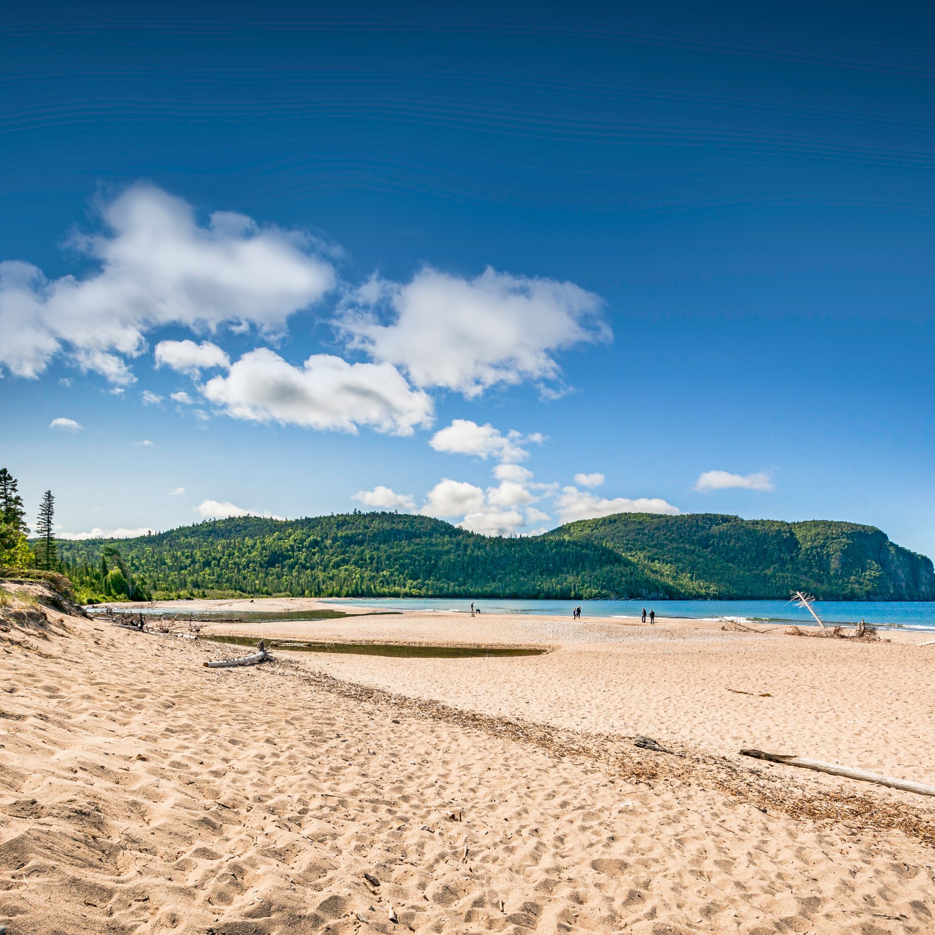
OLD WOMAN BAY – Lake Superior Provincial Park

LARGE-TR-05

An RV Trip of a lifetime!

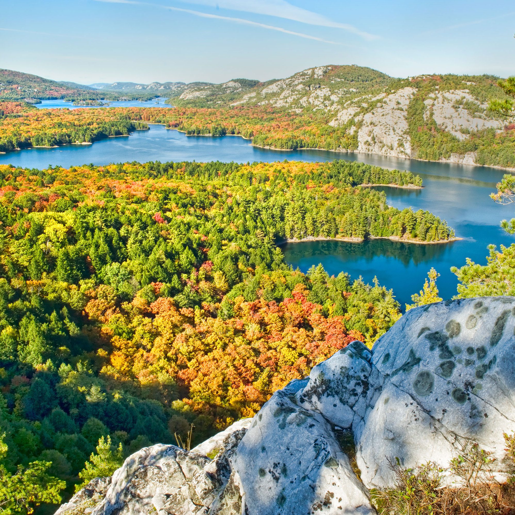
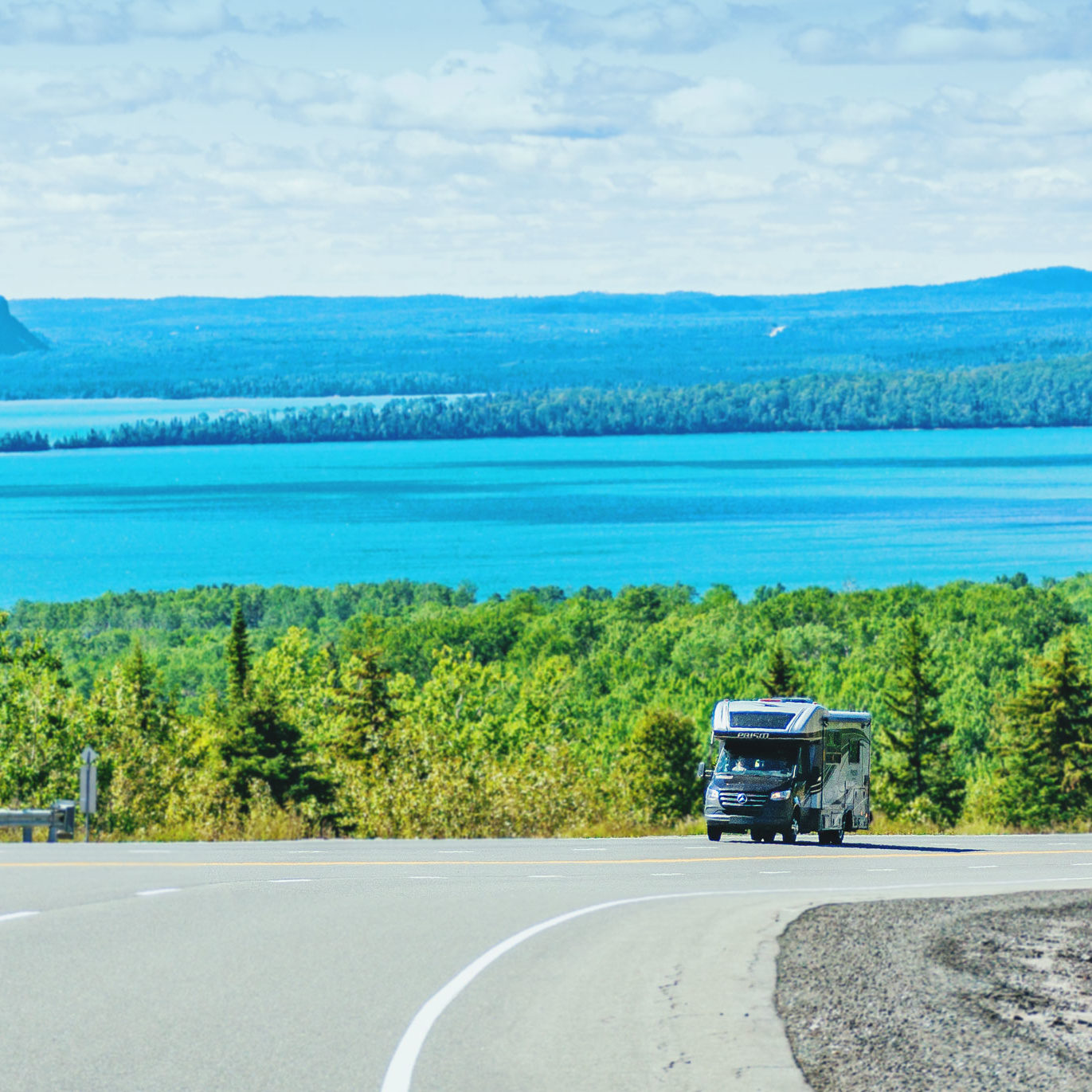
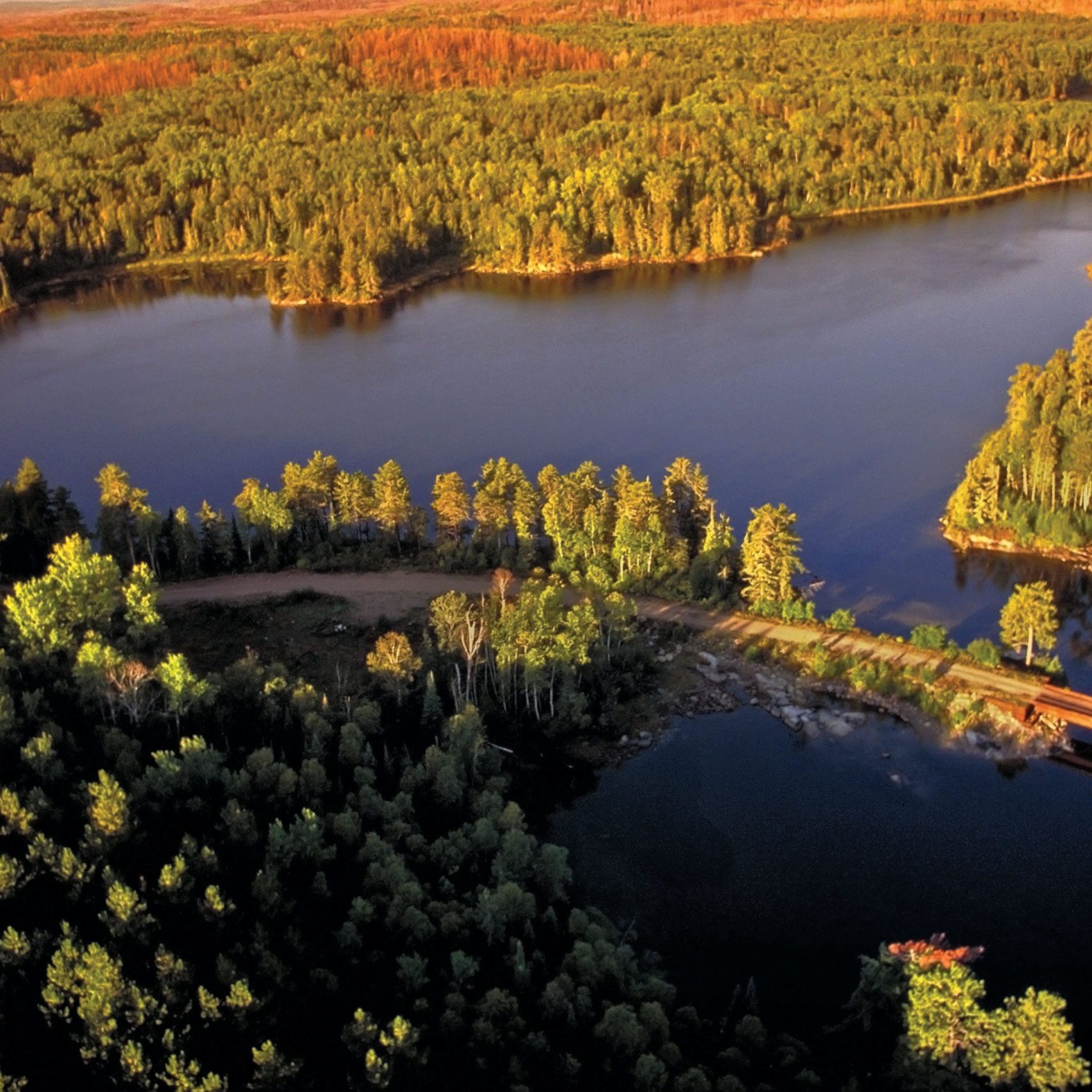
The Fur Trade Route along the coast of Lake Superior is one of Canada’s most scenic drives.

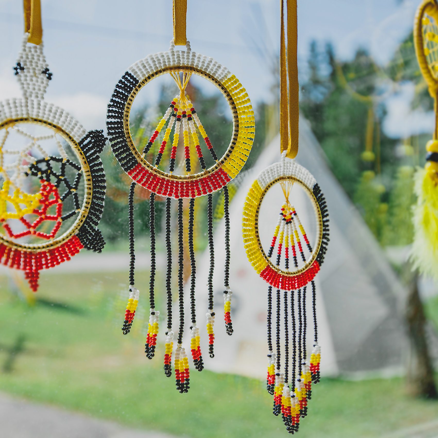
This immense landscape speaks of our Canadian history. Starting with the Indigenous people and the fur trade that led to settlement with the exploration of canoe routes, railroads and eventually highways that connected resource towns to the outside world.

Download a copy of the Ontario RV Touring Guide.

Toronto to Parry Sound
2 h 30 min / 200 km

Parry Sound to Sudbury:
2 h / 170 km

Sudbury to Sault Ste. Marie
3 h 40 min / 320 km

Sault Ste. Marie to Wawa
2 h 40 min / 230 km

Wawa to Nipigon
4 h / 360 km

Nipigon to Thunder Bay
1 h 20 min / 120 km

Thunder Bay to Fort Frances
3 h 50 min / 330 km

Fort Frances to Kenora
2 h 30 min / 220 km


Remote sections on Hwy #17/11 between Sault Ste. Marie & Thunder Bay

Watch for sudden weather changes with heavy snow and wind on isolated stretches of highways with few or no services during April and early May in Spring, and late September–October in Fall along the north shore of Lake Superior. Gale-force winds can quickly develop over the north shore of Lake Superior. Keep an eye on your fuel and propane before heading north around the crest of Lake Superior where gas stations may close in the evening, and on Sundays.

ROUTE HIGHLIGHTS

TOP 10 TOUR HIGHLIGHTS

01  Island Queen cruise – Georgian Bay / 30,000 Islands
02  Fort St. Joseph National Historic Site – St. Joseph Island
03  Sault Ste. Marie Canal National Historic Site – Canal Tour – Sault Ste. Marie
04  Agawa Canyon Tour Train – Departs from Sault Ste. Marie
05  Canadian Bushplane Heritage Centre – Sault Ste. Marie
06  Pukaskwa National Park – Heron Bay, Lake Superior
07  Lake Superior North Shore – Scenic viewpoints along Lake Superior
08  Fort William Historical Park – Thunder Bay
09  Kay-Nah-Chi-Wah-Nung National Historic Site – Fort Frances
10  M.S. Kenora – Cruise on Lake of the Woods – Kenora

Day 01

LAKE SIMCOE  /  ORILLIA  /  PARRY SOUND
Island Queen Cruise

Island Queen Cruise

Parry Sound

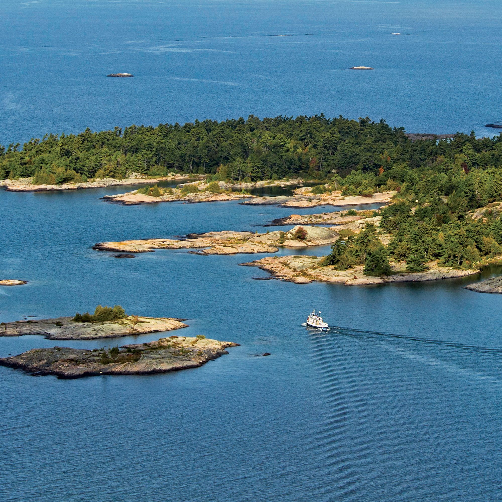
Board the Island Queen Cruise for a close-up look at Georgian Bay's wild and rugged outer islands.

Day 02

PARRY SOUND  /  FRENCH RIVER  /  KILLARNEY  /  SUDBURY
French River Provincial Park

French River Provincial Park

French River

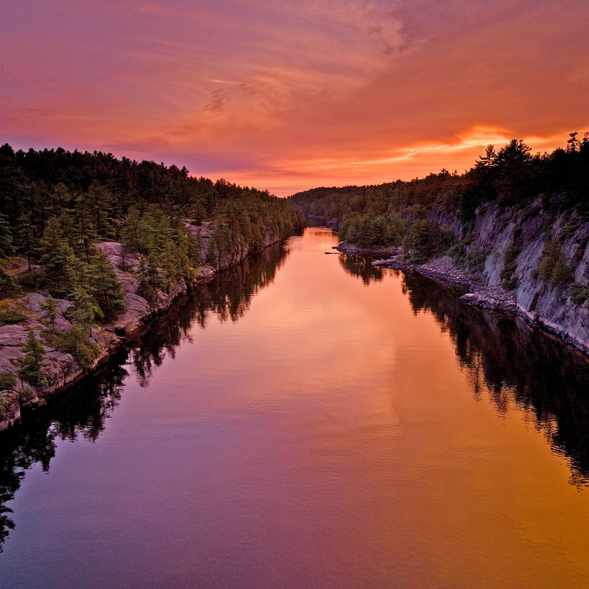
The French River, Canada's first designated Canadian Heritage River marks the halfway point between Northern Ontario and Southern Ontario. The award-winning visitor centre features an exhibit that takes visitors on a virtual journey down the French River, exploring its natural and cultural heritage.

Killarney Provincial Park

Killarney Provincial Park

Killarney

This iconic 645 square kilometre wilderness landscape showcases the wild Georgian Bay Coast of pink granite; the La Cloche Mountains’ white quartzite ridges and over 50 exceptionally clear, sapphire lakes set among Jack Pine hills.

Day 03

SUDBURY  /  MASSEY  /  MANITOULIN ISLAND  /  SPRAGGE
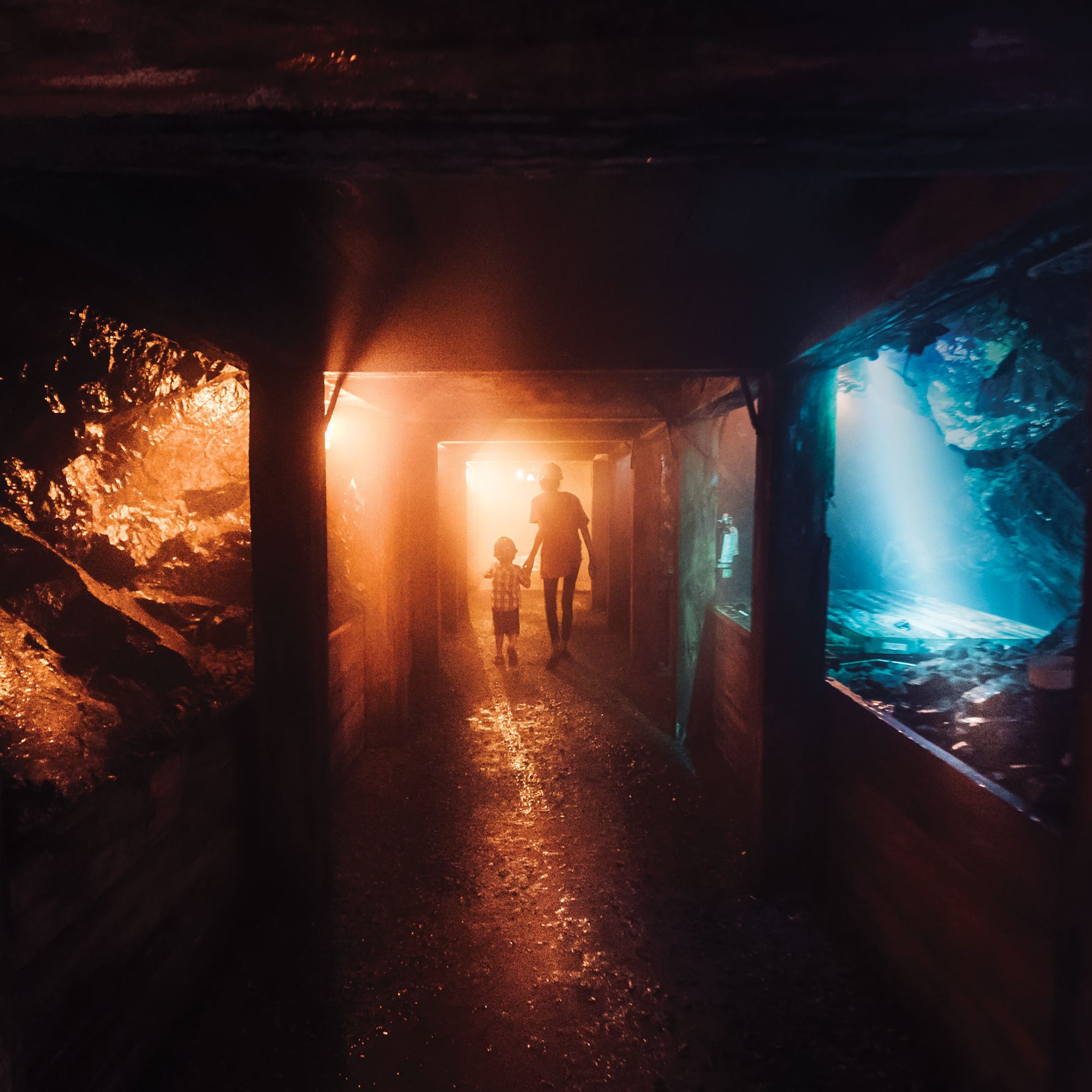
Dynamic Earth

Dynamic Earth

Sudbury

Dynamic Earth, an Ontario Signature Experience, is an immersive, hands-on science centre that features earth science and mining experiences.

DSC-5673

Manitoulin Island

Optional extra day

Take a drive through, or spend an extra day on the world's largest freshwater island! Manitoulin Island is rich with indigenous culture. A full day is recommended to take in all the magical sights and experiences of Manitoulin Island.

00021165

Spanish Marina

Spanish

The Spanish Marina and Four Seasons Waterfront Complex is a bird watchers paradise featuring a lookout over Lake Huron and the "Provincially Significant Wetlands". Informative plaques tell of life in lumber camps and company towns in the 1800s.

Day 04

Lake Huron's North Shore  /  Sault Ste. Marie

_DSC0153

Blind River

Lake Huron's North Shore

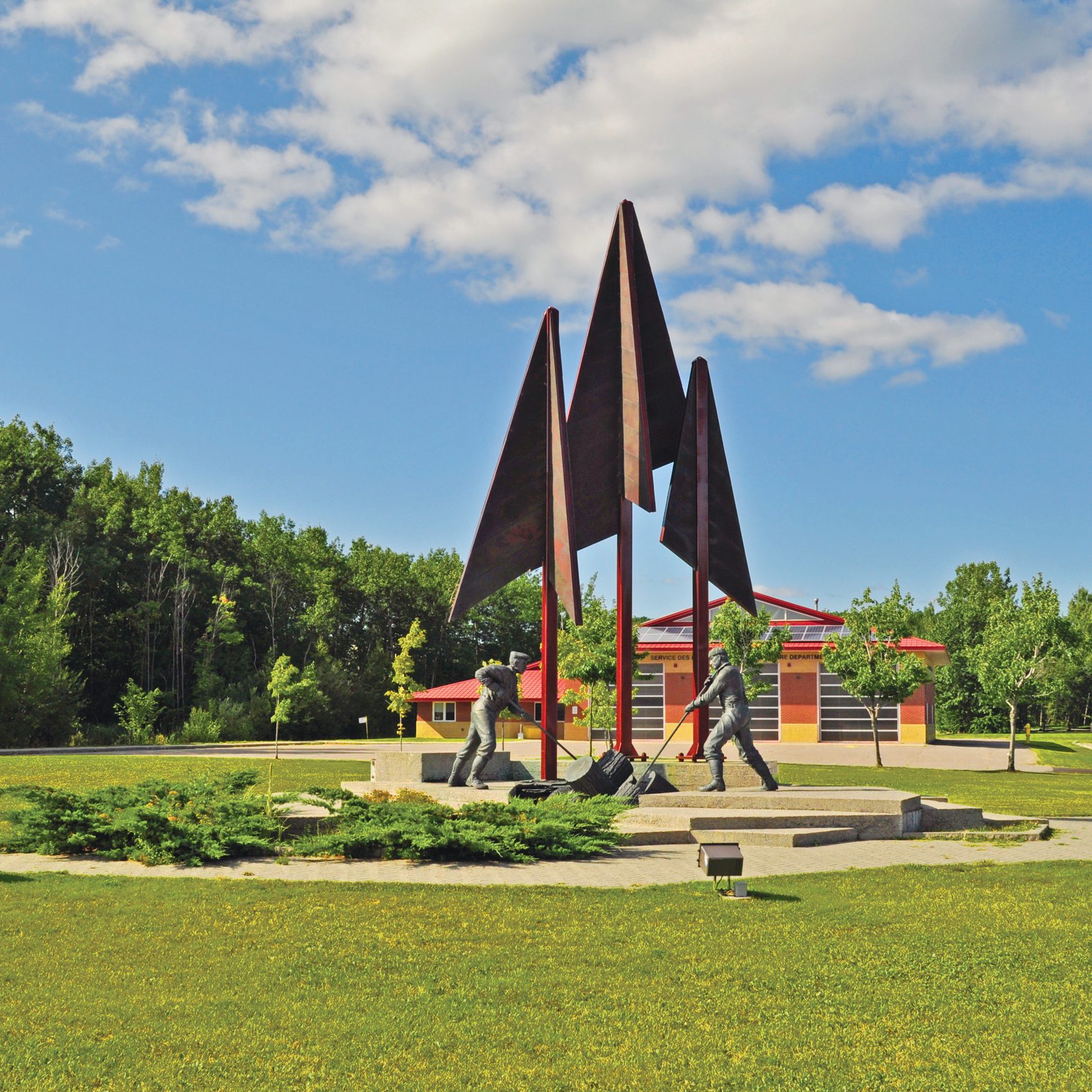
Blind River hosts the Northern Ontario Logging Memorial of forest workers, and the Timber Village Museum showing life in the early lumber camps.

_DSC0116

Iron Bridge

Lake Huron's North Shore

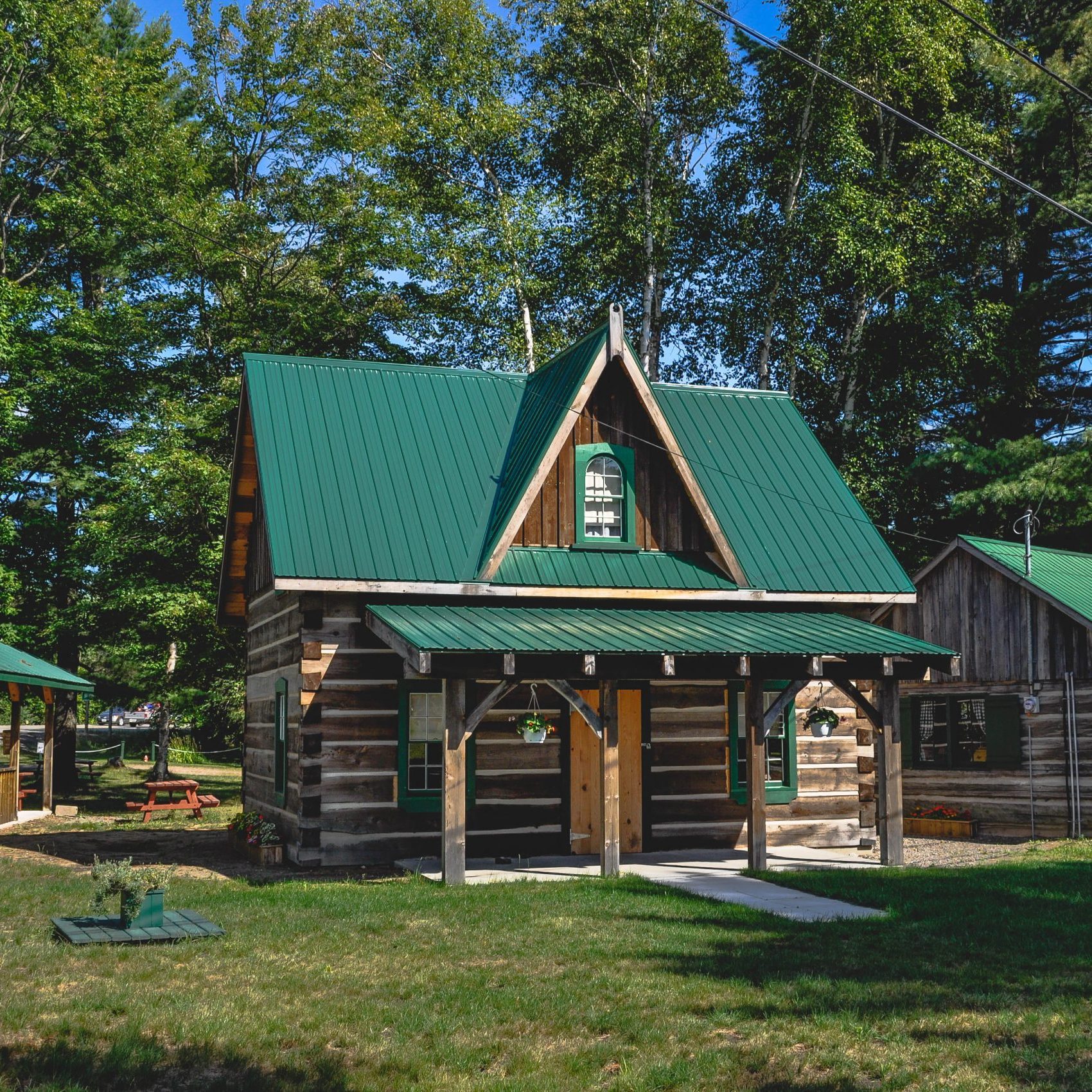
The Tulloch and Carlysle houses are replicas of the first homesteads located east of Iron Bridge. A Travel Information Centre is located on site. 

BruceMines-0630

Bruce Mines

Lake Huron's North Shore

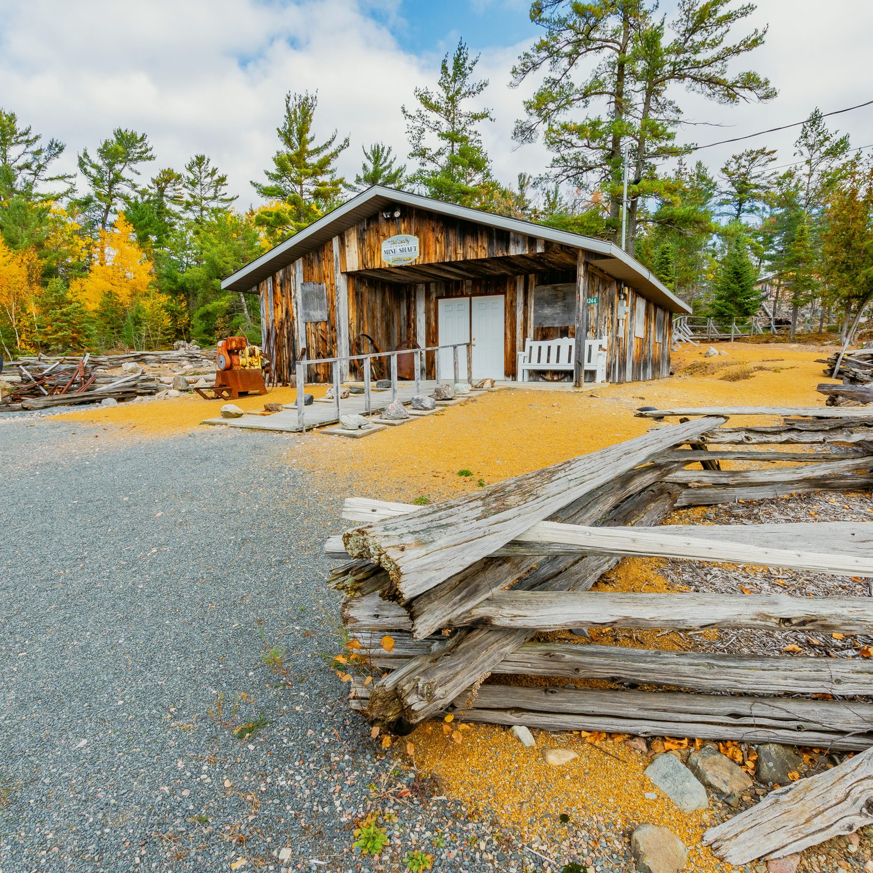
Bruce Mines saw the discovery of copper in 1846, resulting in the first copper mine in North America. Tom Thompson or the Group of Seven painted "View over a Lake Shore with Houses" in 1912.

FortStJoseph

Fort St. Joseph

St. Joseph Island

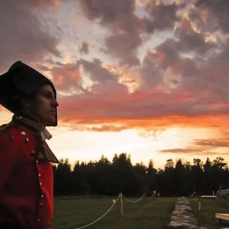
Located on St. Joseph Island 56 kms east of Sault Ste. Marie. The British chose the location for its proximity to the navigation routes controlling the fur trade and access to the Great Lakes. The fort served as a base for the first British military maneuvers against the Americans in the War of 1812.

EchoBay-0923

Echo Bay

Lake Huron's North Shore

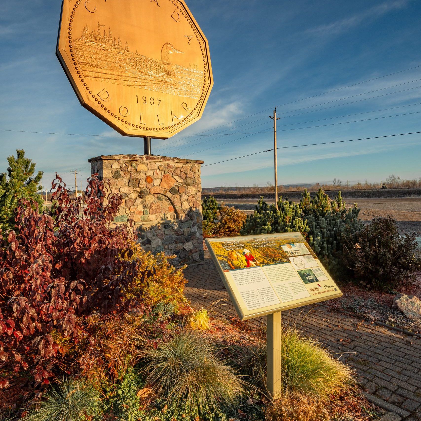
See the Loon Dollar monument, which was erected to honor wildlife artist Robert R. Carmichael, a resident of the village and artist responsible for the 1987 coin’s loon design.

optional extra day

Sault Ste. Marie 

Bushplane Museum

Canadian Bushplane Heritage Centre

Sault Ste. Marie

The Canadian Bushplane Heritage Centre is dedicated to preserving and telling the story of Canada’s bushplane and forest fire protection heritage. The hands-on museum features 29 planes including one of the very first Beaver float planes ever produced. 

Sault Ste. Marie Canal National Historic Site

Sault Ste. Marie Canal National Historic Site

Sault Ste. Marie

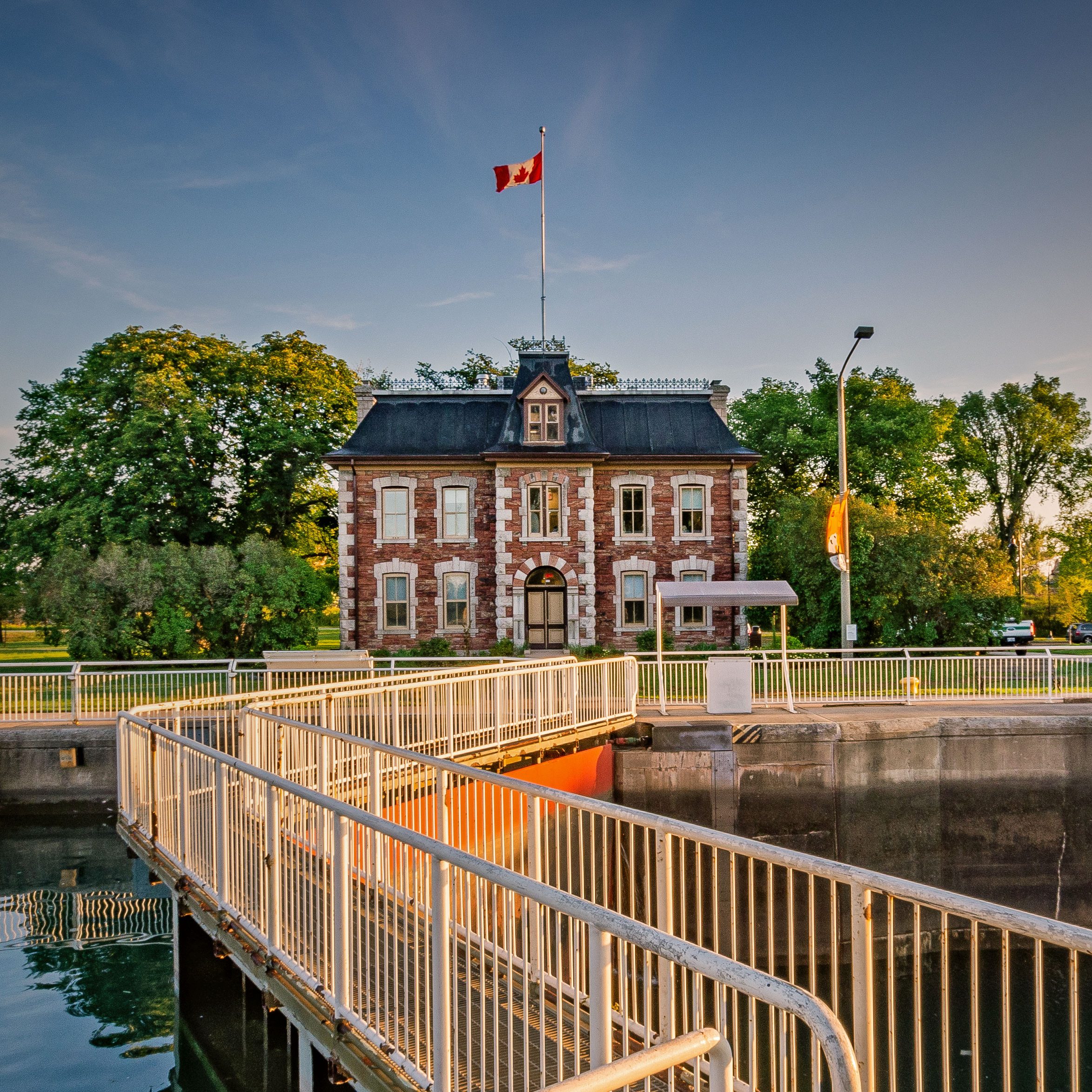
Built in 1895, the canal was the world’s longest lock and the first to operate using electricity. It is the last link in an all-Canadian navigational chain from the Atlantic to Lake Superior. Today the canal, used by recreational craft, is a great spot for boat-watching and picnics.

Boardwalk-0052

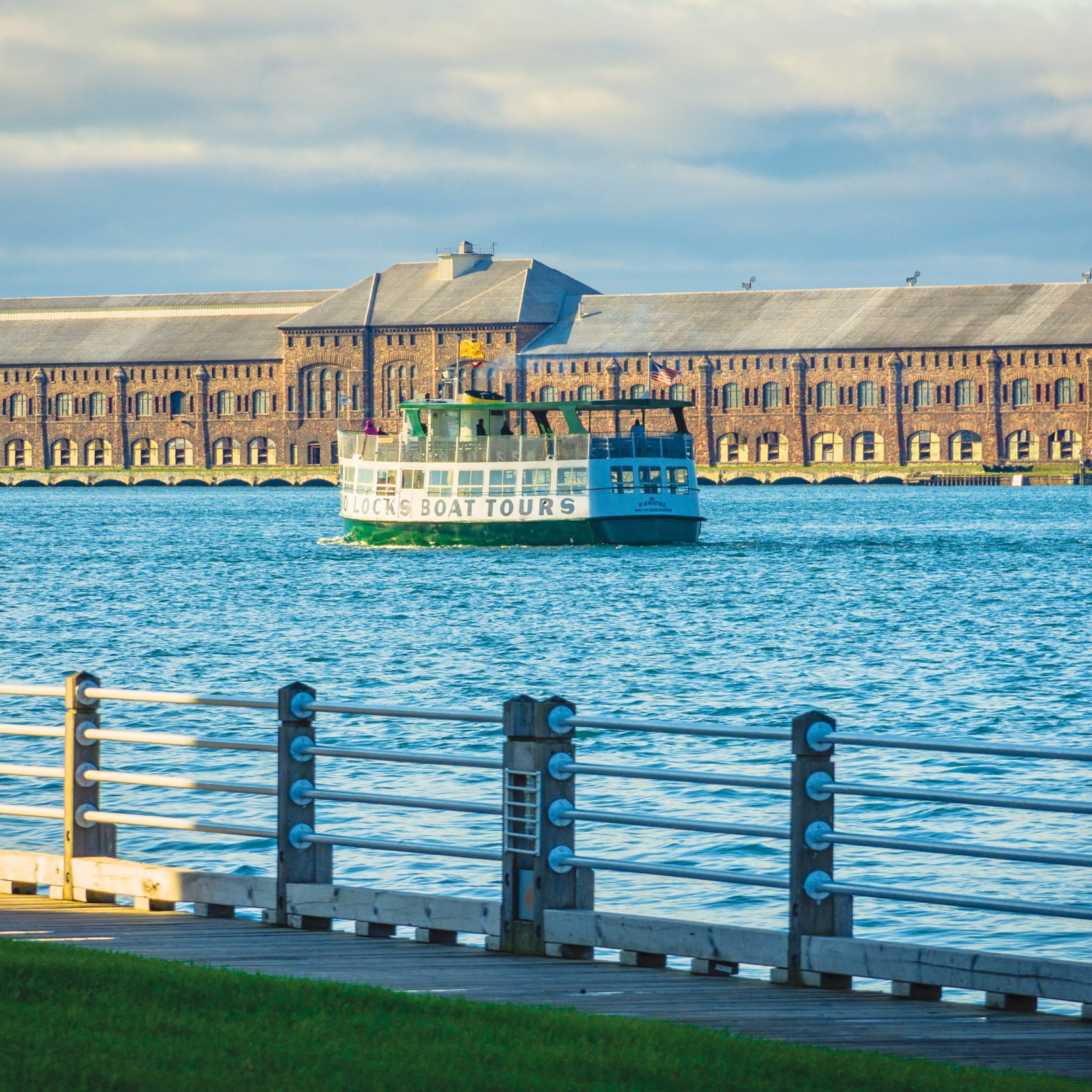
The Soo Locks Boat Tour

Sault Ste. Marie, Michigan (U.S.A.)

The Soo Locks Boat Tour departs from Sault Ste. Marie, Michigan, U.S.A., and takes visitors on a two-hour tour through the American Soo Locks, Canadian Locks, St. Mary’s Rapids, three hydro-electric plants, and historic waterfronts on both sides of the Canada-US border.

Agawa Canyon Tour Train

Agawa Canyon Tour Train

Sault Ste. Marie

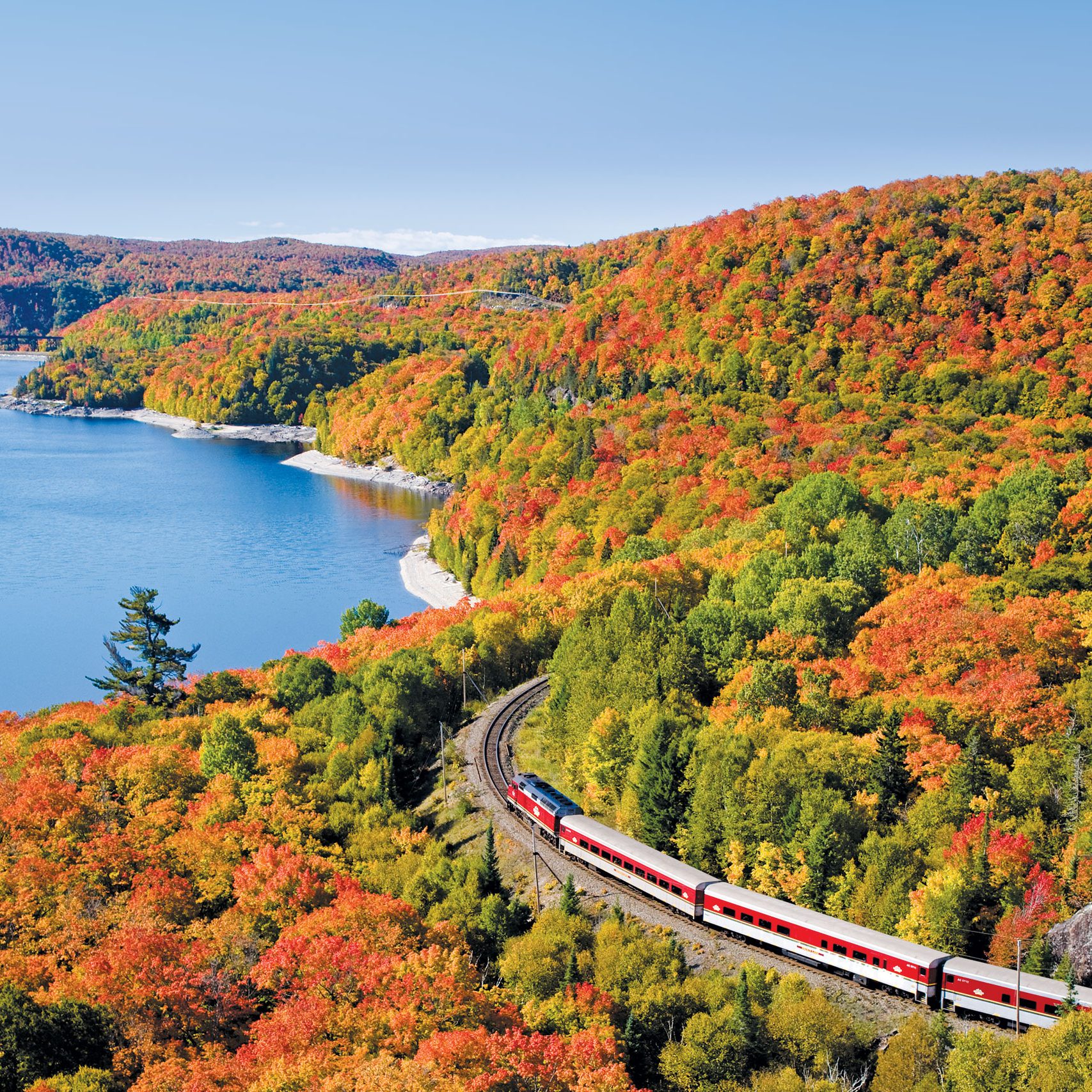
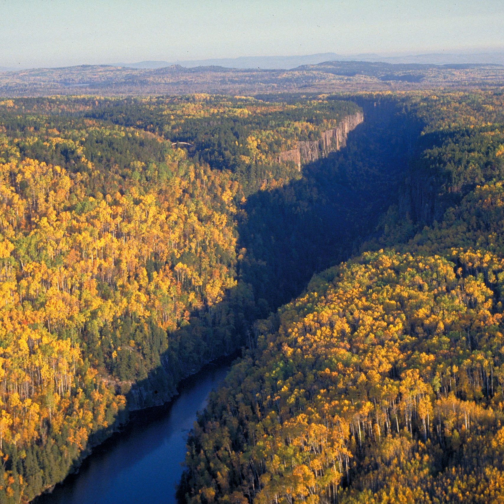
The Agawa Canyon Tour Train, a Canadian Signature Experience, departs from downtown Sault Ste. Marie on a one-day excursion into the heart of the Canadian wilderness. In 1912, the Group of Seven (G7) rented a box car along the rail line to house their studio along the 180-km rail line that follows the shores of lakes and rivers to the  Agawa Canyon. This trip is magnificent in September and October for fall colour viewing, and always sells out early. 

Pictographs-0197

Canoes for Conservation Tours

Sault Ste. Marie

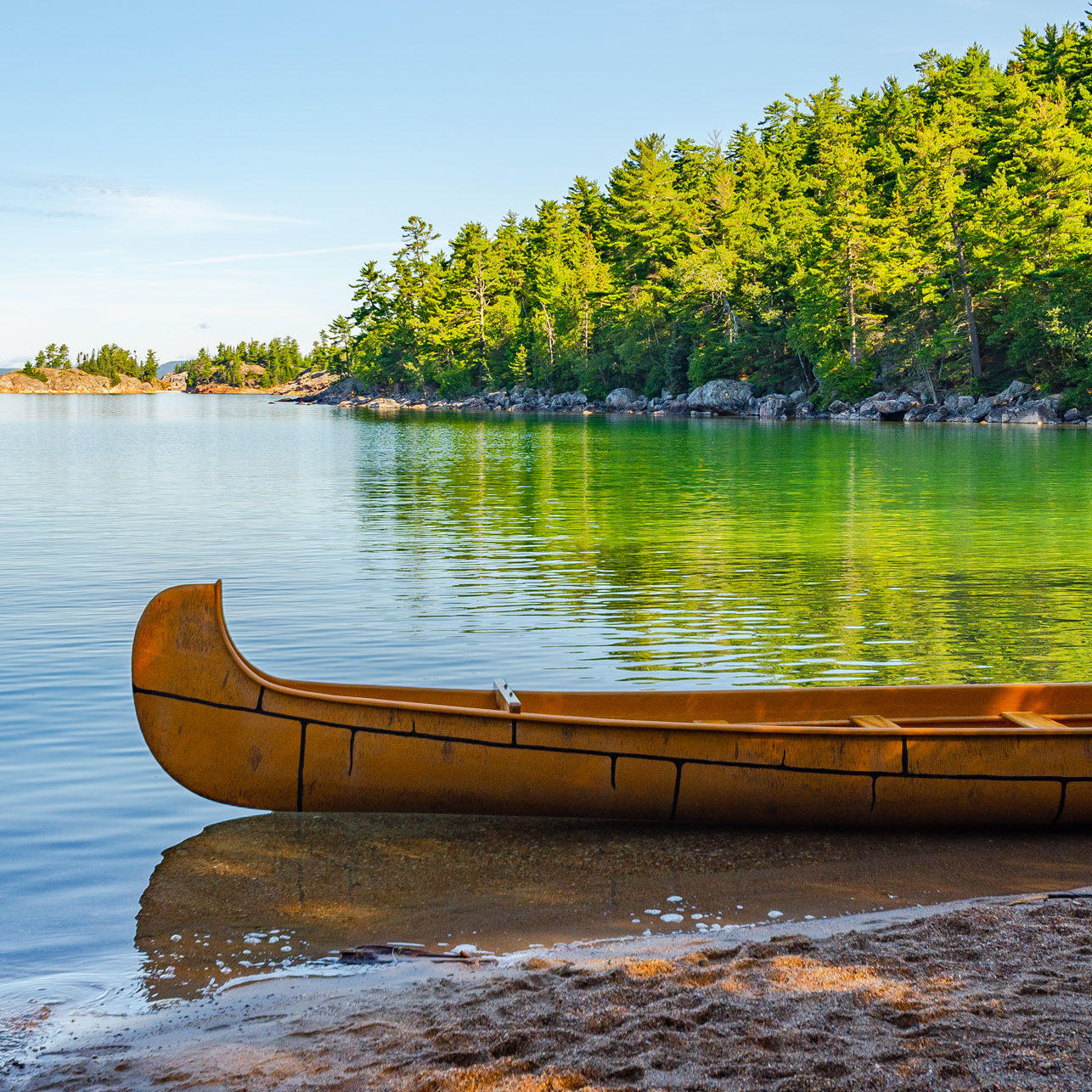
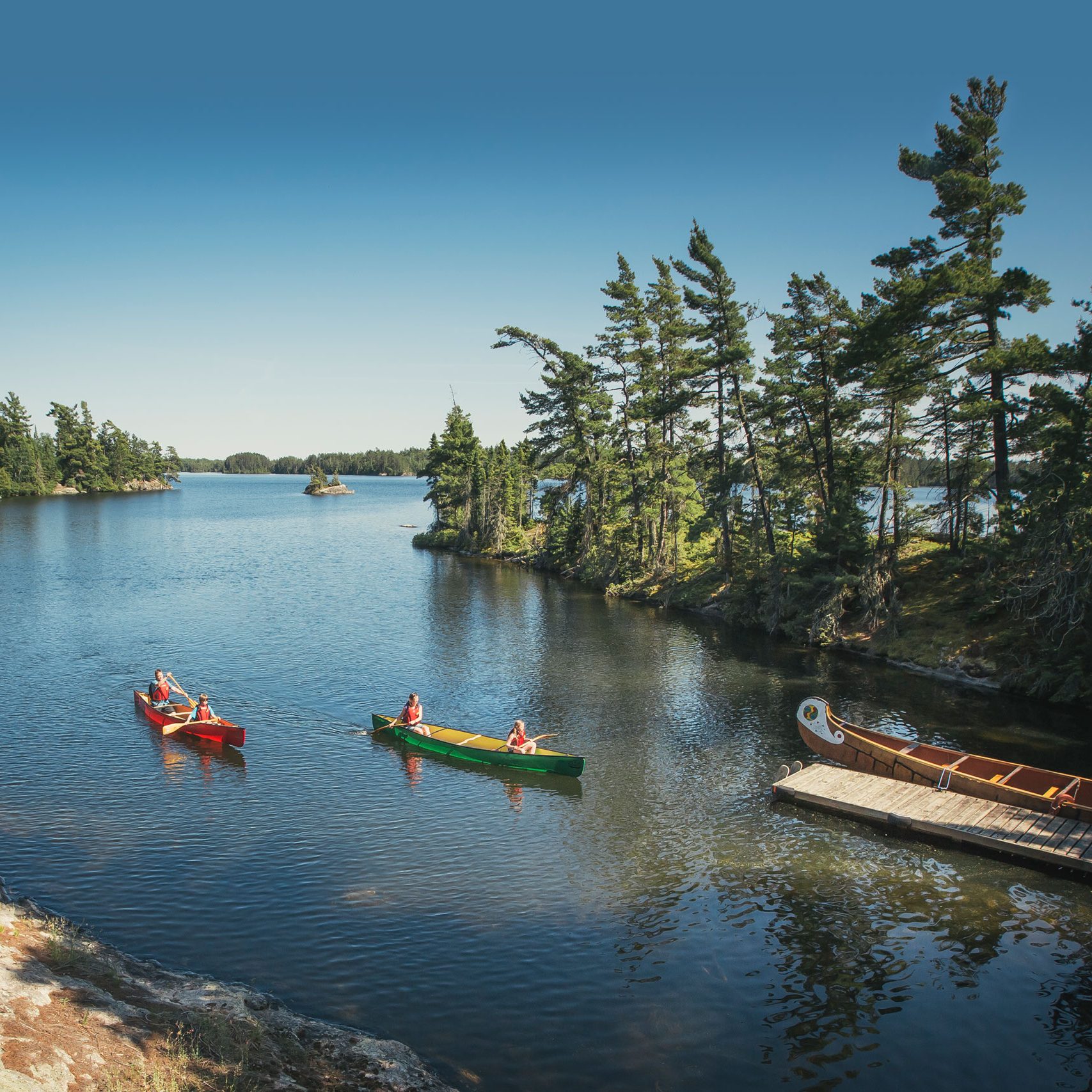
Embark on a water trail adventure with professional interpretive guides in a voyageur-style canoe. Paddle the St. Mary’s River in Sault Ste. Marie or explore Lake Superior's shores at the famous Agawa pictographs.

Day 05

Lake Superior Provincial Park  /  Wawa

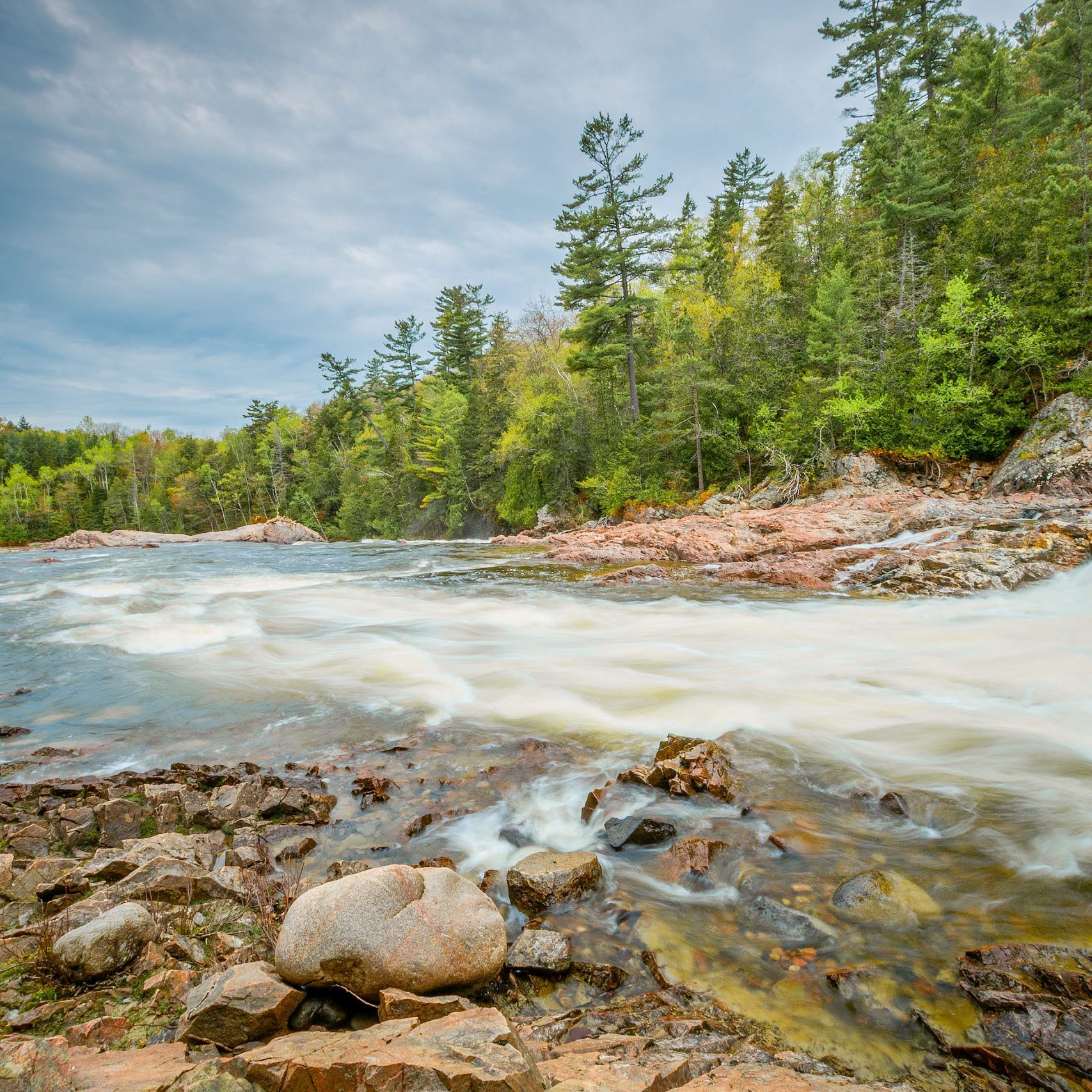
Chippewa_4316

Chippewa Falls

Lake Superior

The Chippewa Falls drops 13 meters in two stages. There is a rest stop just to the side of the highway bridge. A plaque marks the half-way point on the Trans Canada Hwy between St. John, Newfoundland, and Victoria, BC. Look for another G7 easel by Arthur Lismer entitled “The Little Falls”. 

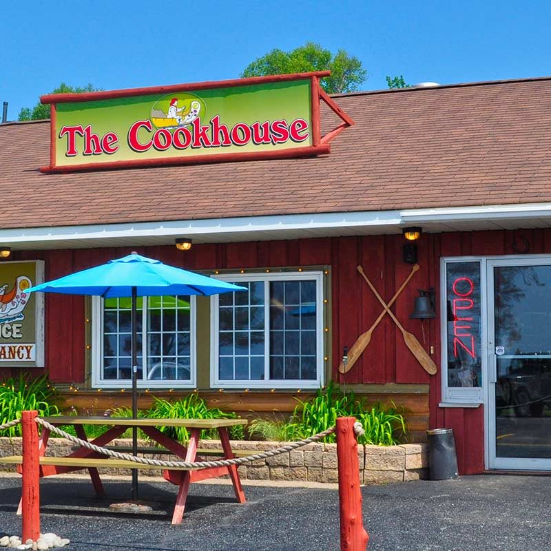
voyageurs-cookhouse-header

Batchawana Bay Provincial Park

Lake Superior

Stop by the Voyageurs’ Cookhouse filled with artifacts and large paintings of the Fur Trade Route. Ask for a copy of the visitor attractions that are listed on the way to Thunder Bay.

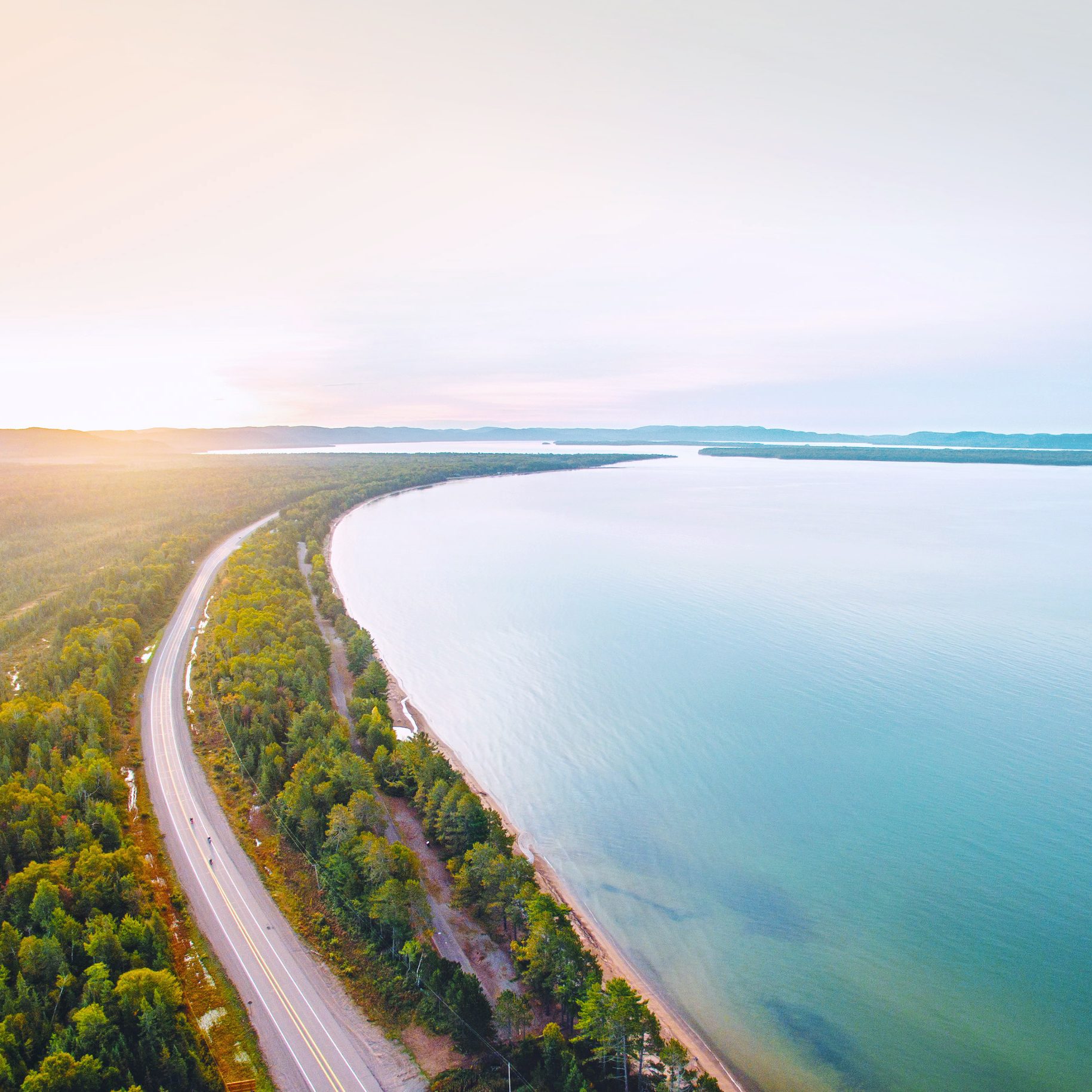
DJI_0078-Edit

Pancake Bay Provincial Park

Lake Superior

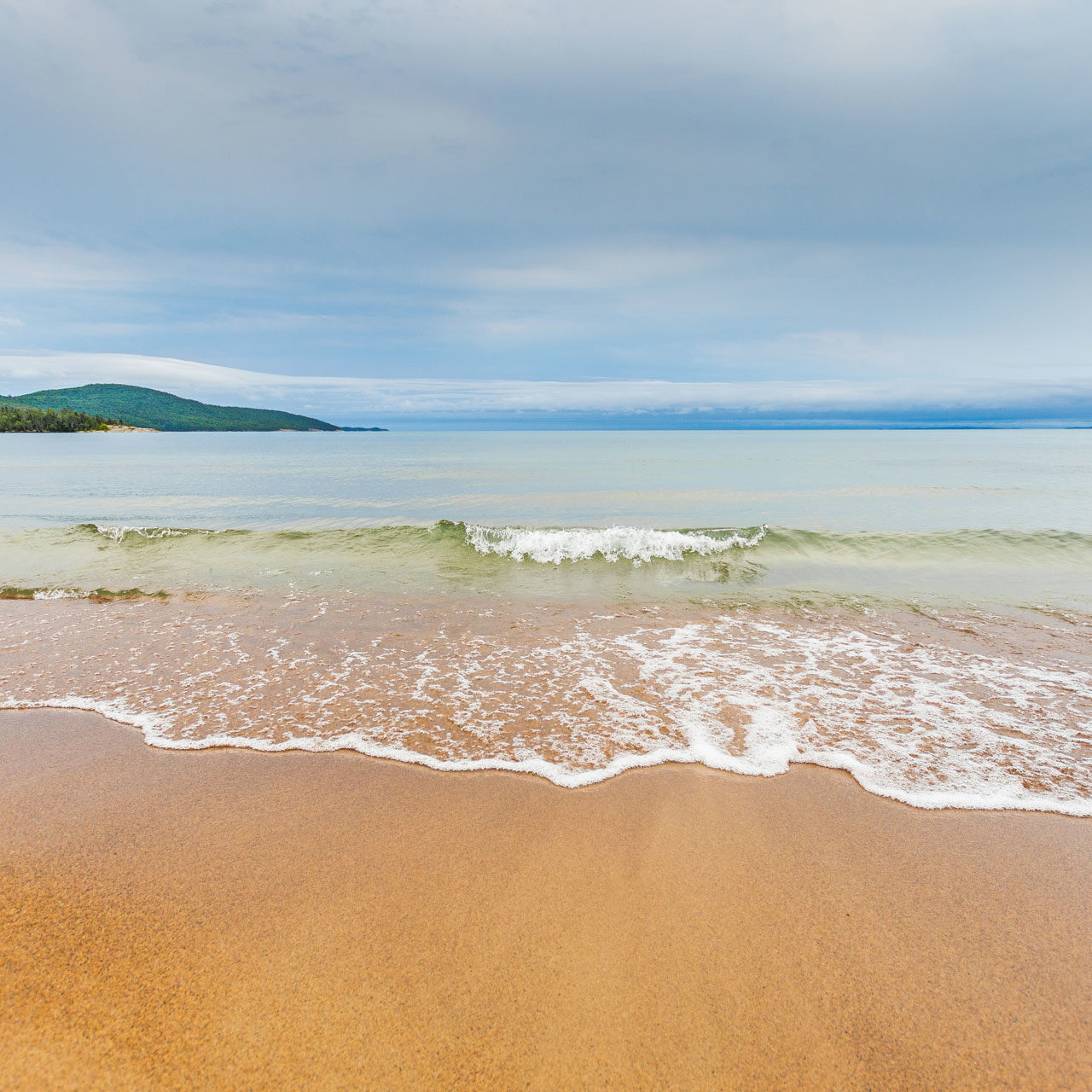
In the early fur trade days, voyageurs preferred this wide sandy 3-km long beach for stopovers along the canoe route around the top of Lake Superior. A plaque on the lookout trail tells of the sinking of the Edmund Fitzgerald ship that broke up in a violent storm made famous by Canadian folk singer Gordon Lightfoot. 

DSC_6430

Lake Superior Provincial Park

Lake Superior

Lake Superior Provincial Park is one of the largest parks on the eastern shore of Lake Superior. Visitors can enjoy world-class hiking and paddling opportunities along the rugged Lake Superior shoreline. An exceptional Visitor Centre located at Agawa Bay highlights the park’s cultural history, natural features and recreational opportunities. 

LakeSuperior_Lake

Agawa Rock

Lake Superior

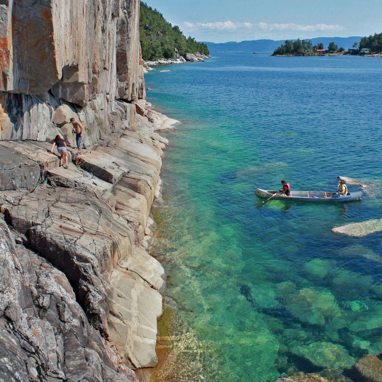
Agawa Rock is located just north of Agawa Bay in Lake Superior Provincial Park. Visitors can view ancient pictographs on sheer cliffs rising from Lake Superior. The red ochre figures were painted on this giant canvas of stone to record the stories of generations of Ojibwe. Agawa Rock is one of the few pictograph sites in Ontario accessible by foot (only when Lake Superior is calm). Proper footwear is recommended for access along a cobblestone path on the shoreline. Warning signs advise visitors to use extreme caution on the rugged path down to the water’s edge. 

Wawa Goose

Wawa

Lake Superior

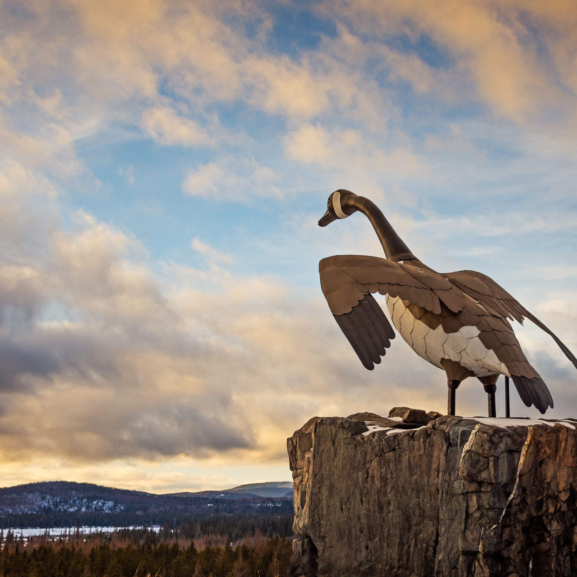
Wawa is best known for the famous big Goose monument that overlooks Lake Superior at the entrance to this picturesque community. Follow the "Signs of History" around the town that explain the early beginnings of this pioneer town. 

DAY 06

Pukaskwa National Park  /  Nipigon
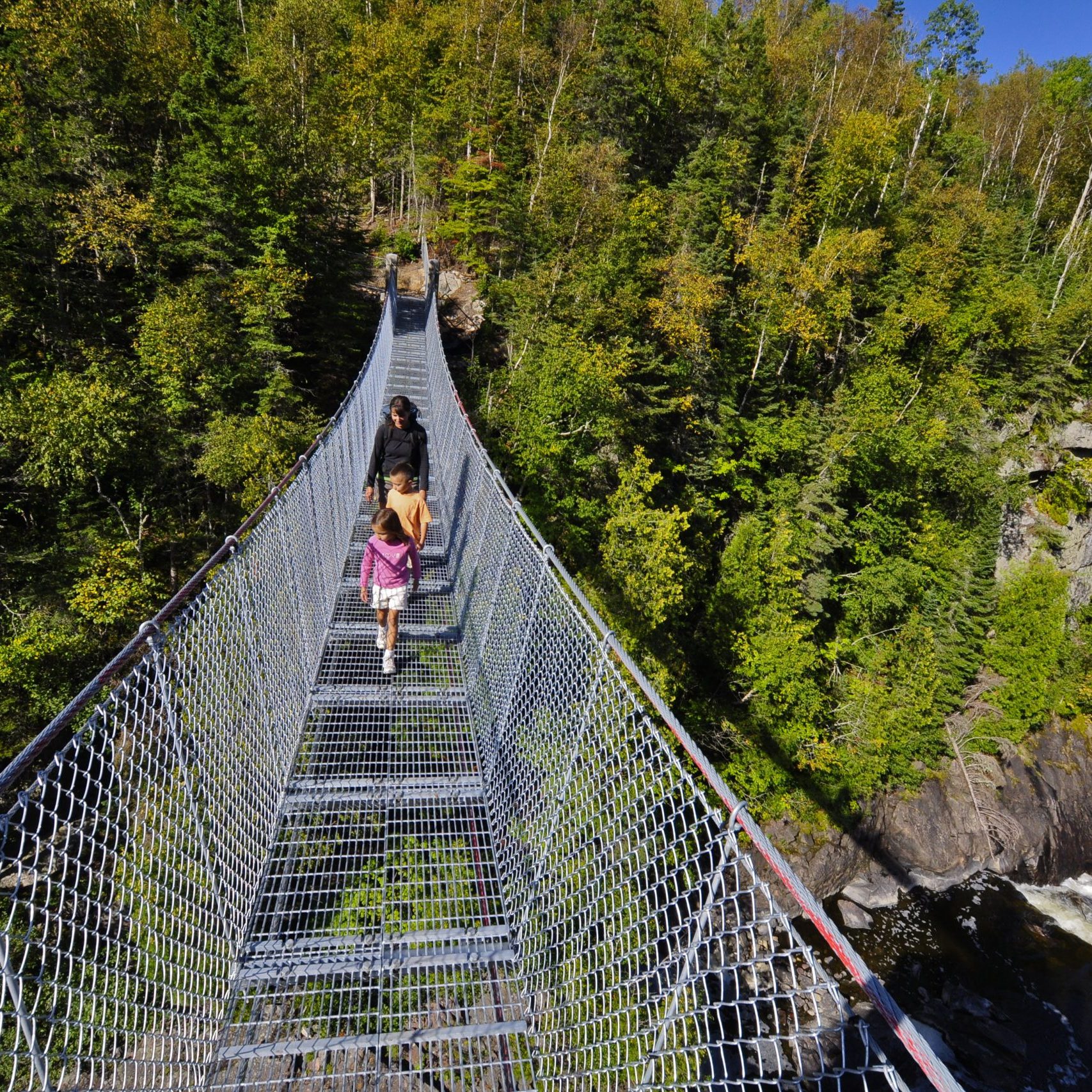
Hiking

White River

Lake Superior

White River features a Historical Society Museum and historic markers. White River is famous for its Winnie-The-Pooh statue built to commemorate the black bear cub that became the mascot for Canadian troops serving overseas in World War II.

100005114

Pukaskwa National Park

Lake Superior

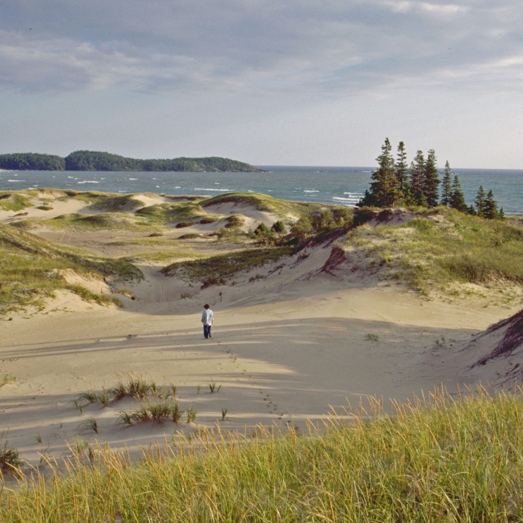
Pukaskwa National Park features a boardwalk over sand dunes to the sandy beach on Horseshoe Bay. Interpretive walking trails share important teachings of the Anishinaabe culture. 

Lake Superior's Wild Coast

Marathon

Lake Superior

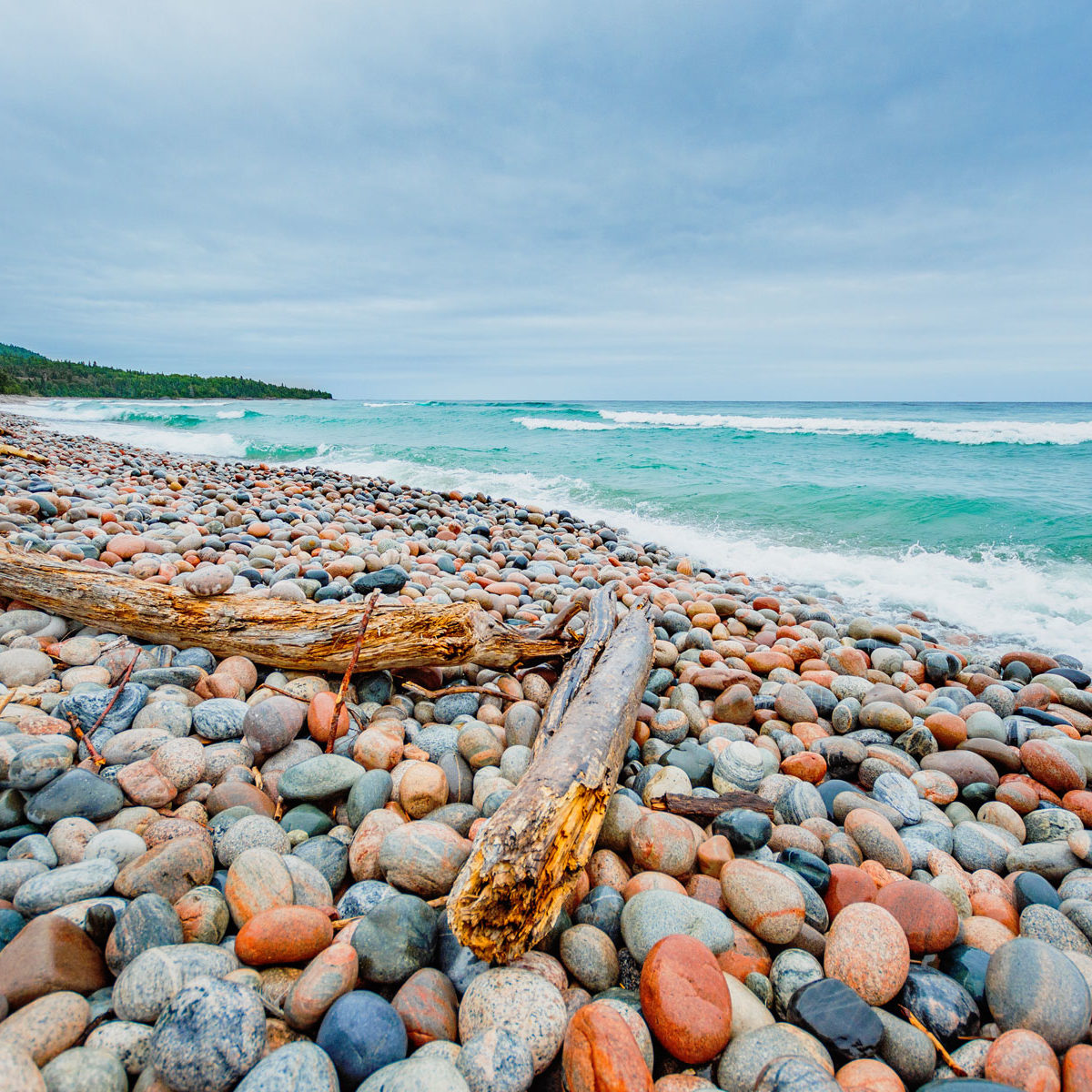
Marathon was a staging area during construction of the CPR rail lines through solid bedrock, mid-way between Sault Ste. Marie and Thunder Bay. Visit Pebble Beach with polished stones along the shore of Lake Superior. 

Neys-1661

Neys Provincial Park

Lake Superior

Neys Camp was one of the first prisoner of war camps that housed German soldiers and enemy civilians during World War II. Prisoners were transported by ship from England, arriving in January, 1941. Prisoners were later permitted to leave the confines of barbed wire to work in lumber camps to cut cord wood. 

00028568

Terrace Bay

Lake Superior

Follow the Casque Isles hiking trail for two kms to Terrace Bay beach where visitors can walk knee-deep through rye grass. Pre-arrange a boat tour to Slate Islands which shelters a large herd of Boreal Woodland Caribou. Enjoy views from a scenic lookout at the Patterson Lighthouse located behind the Travel Information Centre.

TerraceBay-2534

Aguasabon Falls and Gorge

Lake Superior

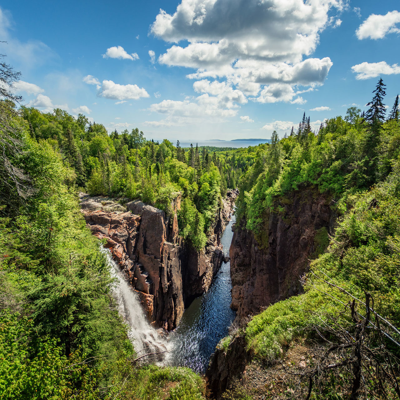
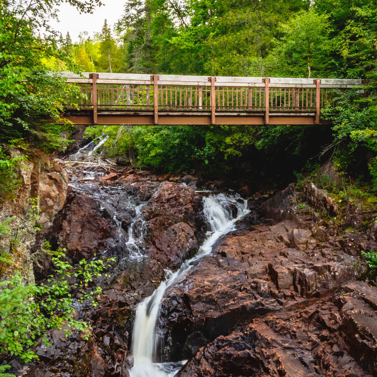
Located just a half-mile off Hwy #17. Follow the boardwalk to this spectacular 100-foot waterfall that tumbles over a 2.6-billion-year-old rock face into a deep gorge. The best time to view the falls is in the spring when the water levels are high.

RainbowFalls-3030

Rainbow Falls Provincial Park

Lake Superior

View the cascading waters as they plunge over the rock ledges of Rainbow Falls on their way to Lake Superior. Hike the trails which lead to panoramic views of Lake Superior and Whitesand Lake.

LakeSuperiorCircleTour-RV

Nipigon

Lake Superior

The last G7 easel site along the route from Sault Ste. Marie. Climb the 20m Bridgeview Lookout Tower with a 360-degree view of the Nipigon River that once produced the largest brook trout for fly fishing in the world. Visit the Heritage Museum and take a self-guided walking tour to learn about the history of the town.

Day 07

Nipigon  /  Thunder Bay

Ouimet Canyon Provincial Park

Ouimet Canyon Provincial Park

Lake Superior

Ouimet Canyon Provincial Park offers panoramic views of a 150-metre-wide gorge and sheer cliffs that drop 100 metres straight down to the canyon floor. A trail and boardwalk connect two lookout platforms with spectacular views of the canyon.

SleepingGiant

Sleeping Giant Provincial Park

Lake Superior

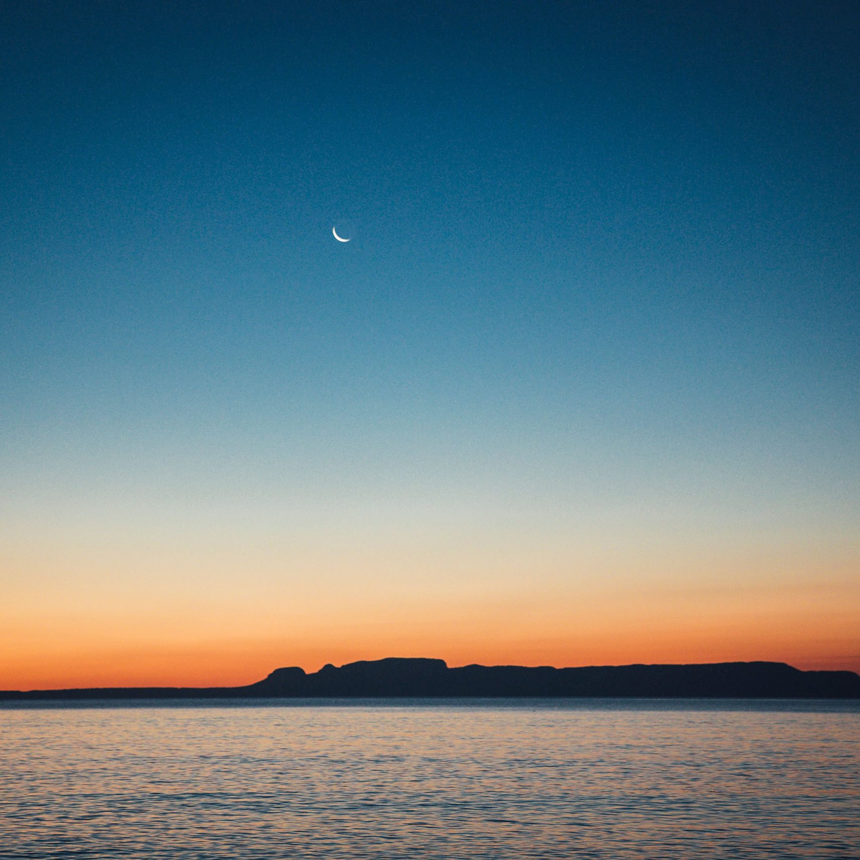
Breathtaking views of Lake Superior and the surrounding area are available from the Top of the Giant Trail and Thunder Bay Lookout. Exhibits at the Travel Information Centre explore the natural and cultural history of the Sibley Peninsula including a model of the Silver Islet Mine.

IMG_7928-photo-Virgil Knapp

The Terry Fox Monument

Thunder Bay

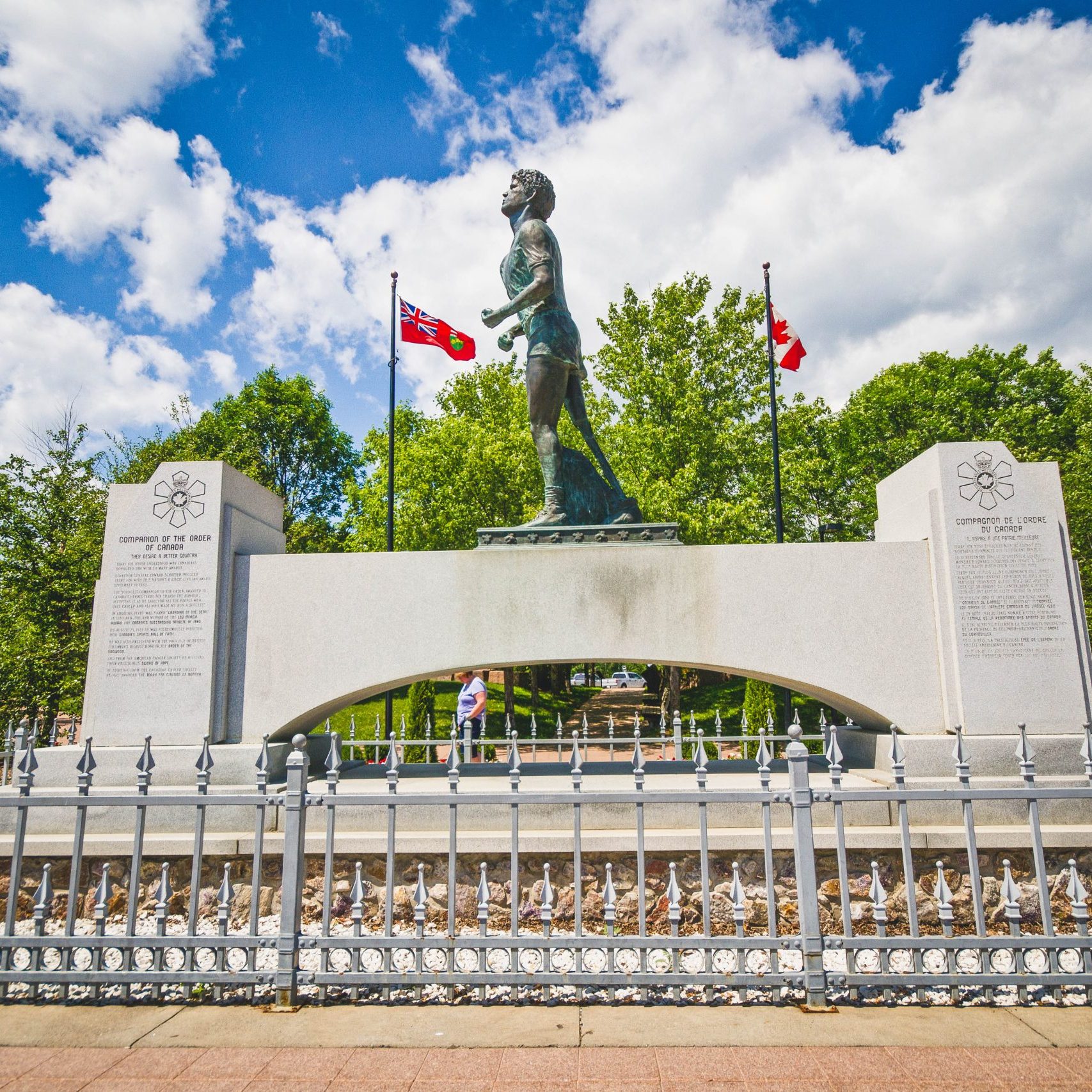
The Terry Fox Monument and Scenic Lookout has a 9-foot statue erected in memory of Terry Fox, the courageous one-legged runner who embarked on a 5,300-kilometre run across Canada to raise money for cancer research. His unique hop-and-skip style inspired Canadians to support his Marathon of Hope that has grown world-wide.

Thunder Bay Waterfront

The City of Thunder Bay

Lake Superior

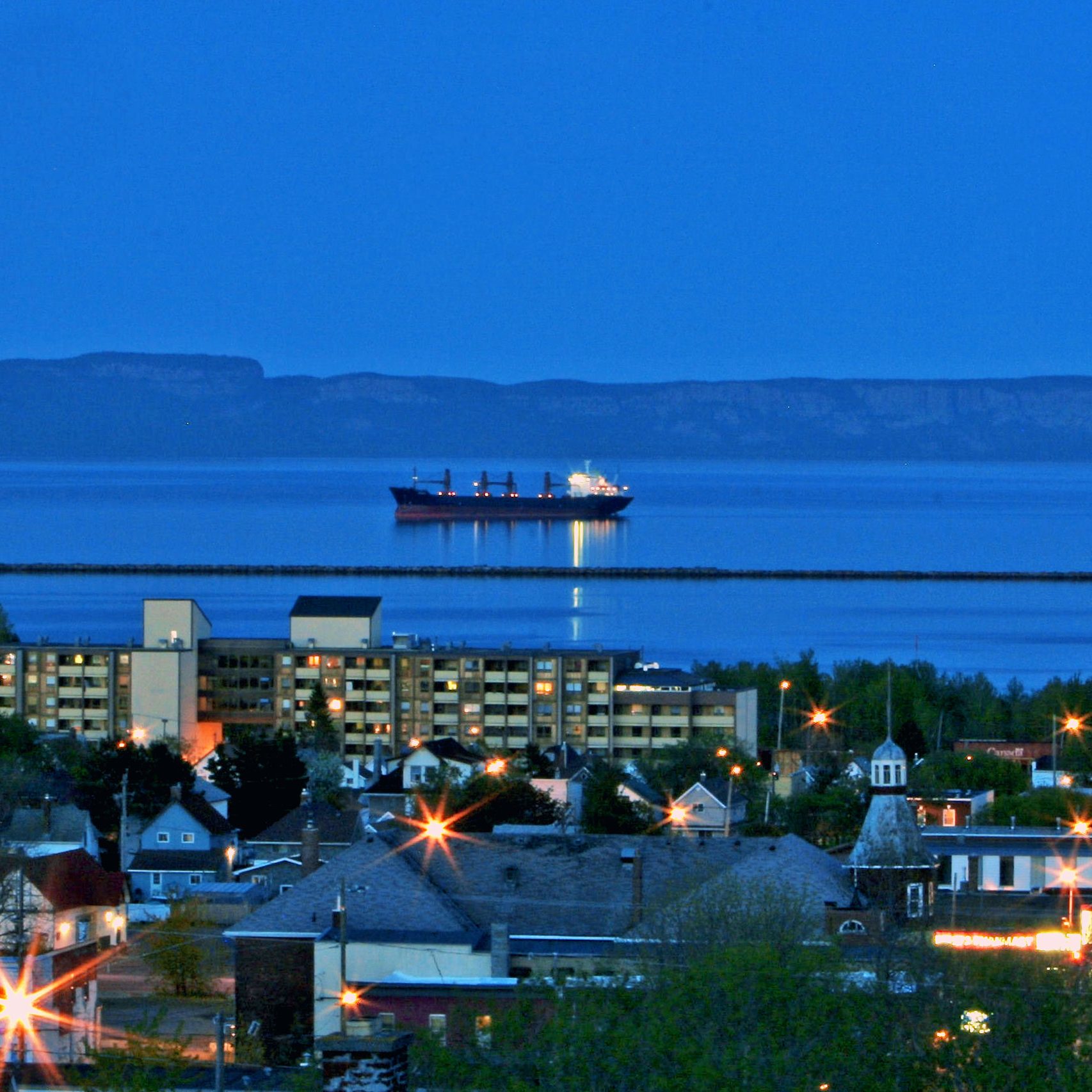
The city of Thunder Bay is named after a large bay at the head of Lake Superior. The bay's name refers to the legendary Thunderbird, a mythical giant bird of Ojibwe folklore. The city has grown into a major transportation hub with an inland port served by two transcontinental railroads delivering grain from the Prairies. Visit the developed harbor front for a choice of fine restaurants. 

Fort Wiliam Historical Park

Fort William Historical Park

Thunder Bay

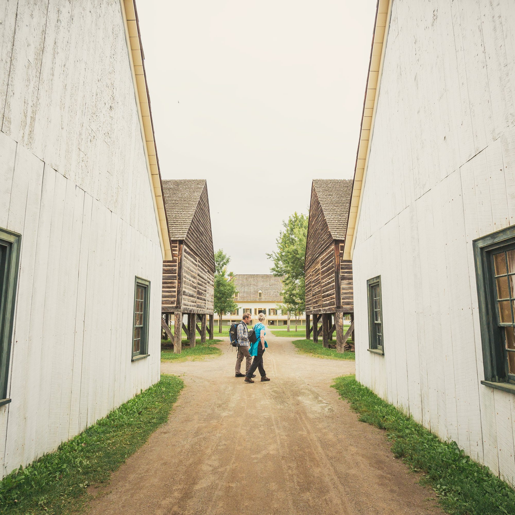
Visit Fort William Historical Park, the world's largest Fur Trade Post at its time. It is an exact replica of the North West Company's inland headquarters. Fur traders would bring their goods from the far west for trading, and the voyageurs would then haul bales of beaver pelts all the way to Montreal for shipment to Europe. Meet Scottish fur traders, French voyageurs and the Ojibwe who toil at the fort.

Kakabeka Falls Provincial Park

Kakabeka Falls Provincial Park

Thunder Bay

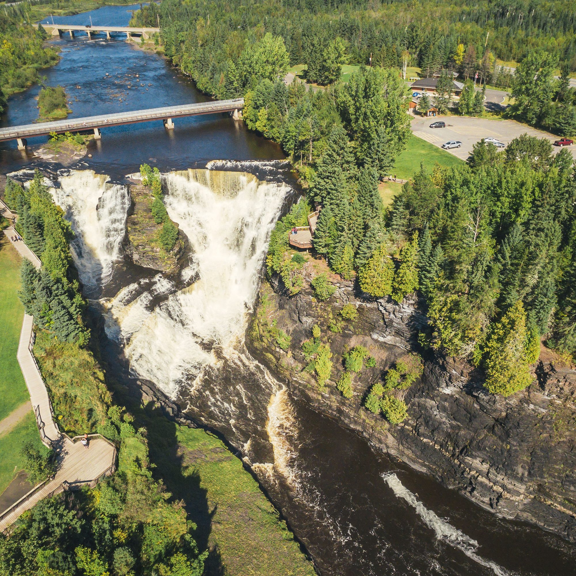
A 40-meter waterfall that required a portage on the historic canoe route connecting Lake Superior with Lake of the Woods.

DAY 08

Atikokan  /  Fort Frances  /  Lake of the Woods

Quetico Provincial Park

Quetico Provincial Park

Quetico is an iconic wilderness park renowned for its rugged beauty, towering rock cliffs, majestic waterfalls, virgin boreal forests, and picturesque rivers and lakes. The park is a world famous destination for backcountry canoeing with over 2,000 lakes and 460,000 hectares of remote wilderness. 

14146258678_1b8b7c107e_o

Atikokan

The Centennial Museum and Historic Park describes the Steep Rock mine discovery in 1938, 

Fort Frances Travel Centre - Matthew Beach 004 copy

Fort Frances

Follow the La Verendrye Parkway along the shores of Rainy River. Historic plaques describe the Voyageurs Highway and the rivalry between the Hudson Bay and Northwest Trading Company for furs along the canoe route. 

A description at the base of a 100-foot forest fire lookout tells of the early-warning radar bases that dotted the north during the Cold War. Continue along Hwy #11 past the junction with #71 to Kay-Nah-Chi-Wah-Nung Historical Centre with the largest group of Indigenous burial mounds in Canada that reflect more than 8,000 years of reoccurring habitation. Some mounds are more than 7 meters in height. 

Day 09

Lake of the Woods  /  Kenora 

Lake of The Woods

Lake of the Woods

Once known as the King’s Highway, Hwy #71 is one of the most spectacular 200 km stretches of remote highway in Ontario. The route meanders along along the east shore of beautiful Lake of the Woods. 

10872330415_2488b637c9_o

Caliper Lake Provincial Park

Located one hour north of Fort Frances. A campground is situated on a bluff overlooking Caliper Lake from a stand of old growth red and white pine. The park features a large beach with sectioned off swimming area.

10929939356_de7d29195e_o

Sioux Narrows / Nestor Falls

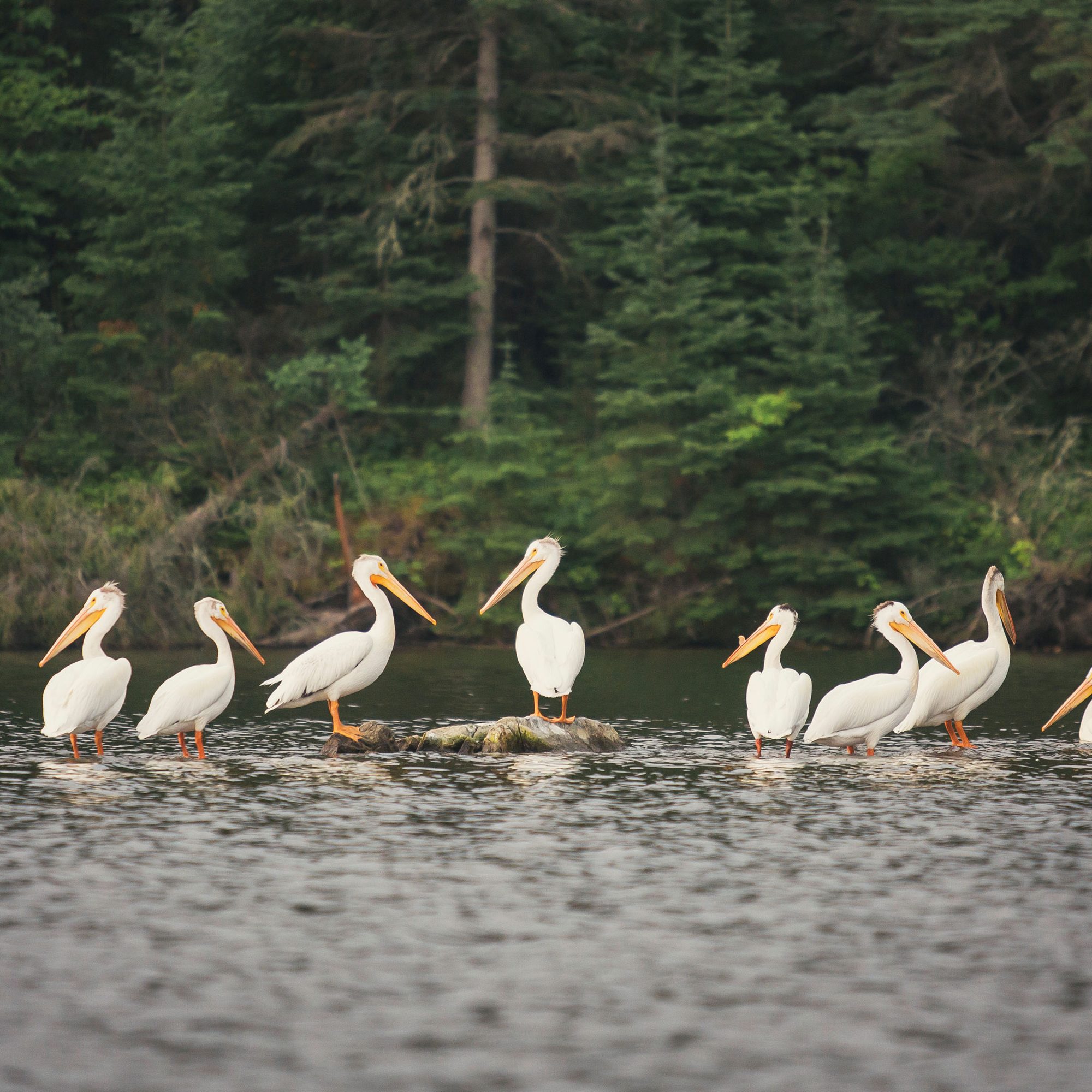
Two quaint towns on the eastern shores of Lake of the Woods. Rich in history, the town centre is the site of a legendary battle between the invading Sioux and the local Cree and Ojibwe. Nestor Falls attracts flocks of pelicans that feed at the base of the falls. Visit the Northern Ontario Sportfishing Centre and book wilderness tours with Indigenous adventure guides for a thorough introduction to sport fishing in the area.

Nesting Bald Eagles

Sioux Narrows Provincial Park

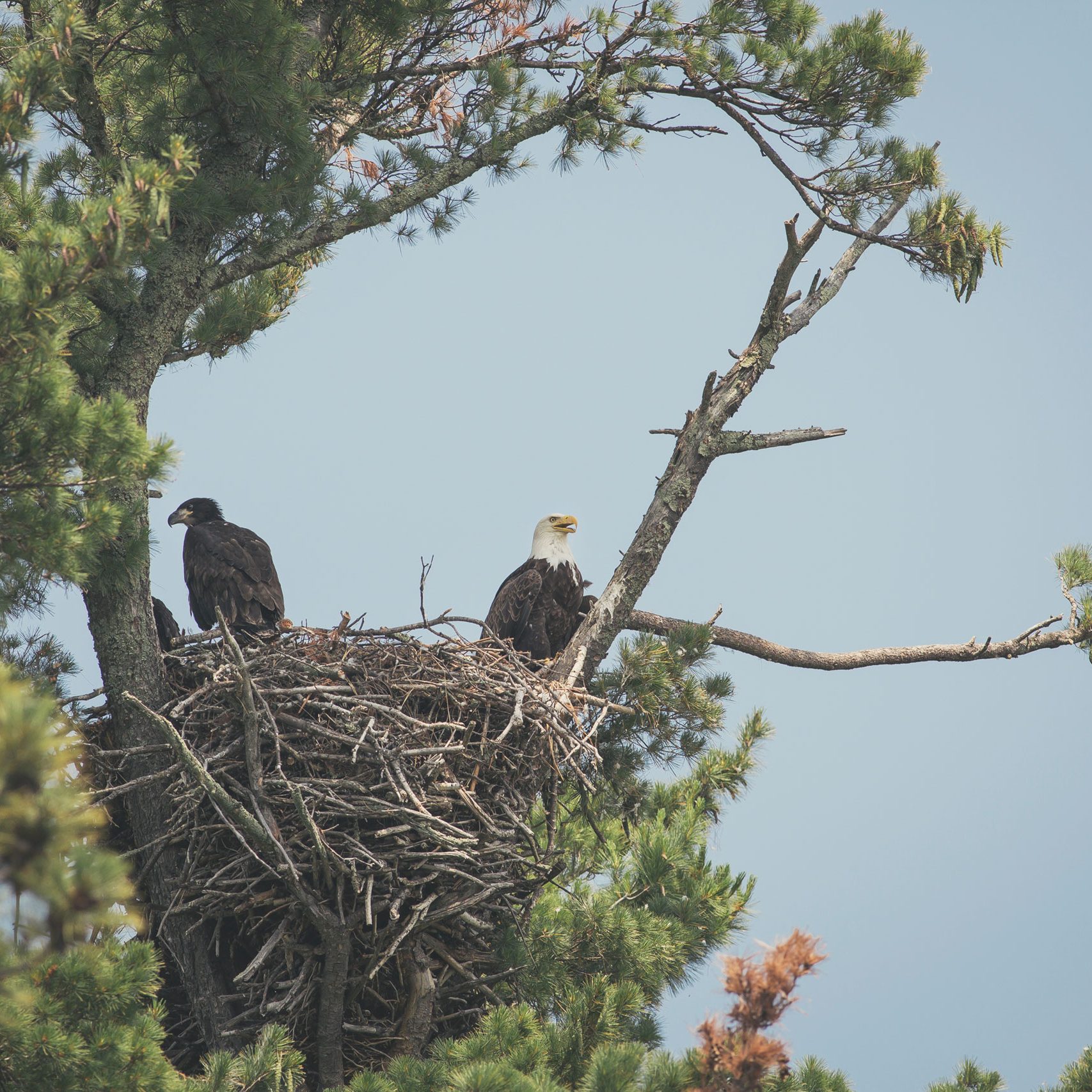
This park offers variety of outdoor activities including boating, swimming, sailing and canoeing. Sioux Narrows is the site of an Ojibway battle with Sioux warriors and only a boat ride away from Indigenous pictographs.

Boardwalk<br />Photographer: Evan Holt

Rushing River Provincial Park

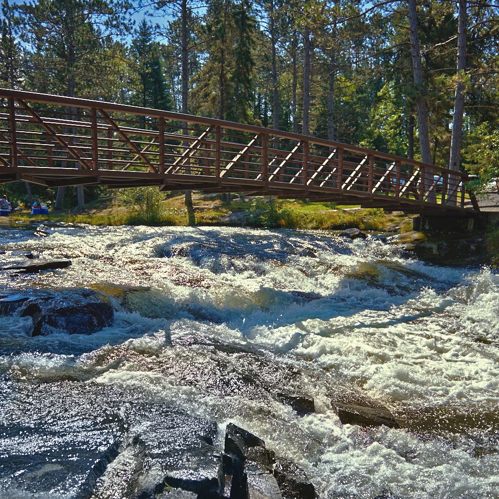
The Rushing River forms series of white water rapids that flow over ancient rock gouged by glaciers. A favourite family camping destination offering beaches, playgrounds, interpretive programs, hiking trails and endless opportunities for exploring.

MS Kenora

The City of Kenora

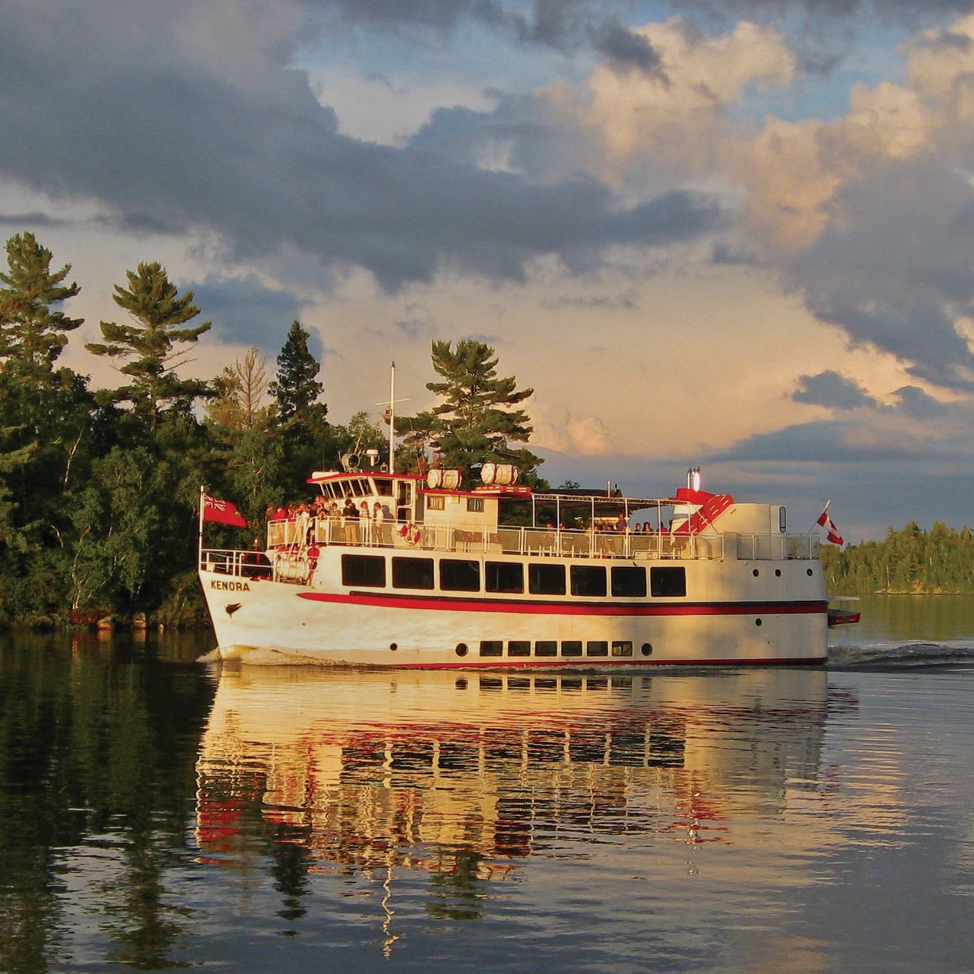
Once known as “Rat Portage” after trapping muskrats, the historic canoe route by-passed the rapids at the outlet to the Winnipeg River. Visit the Lake of the Woods Museum nicely situated in downtown on the shores of Lake of the Woods. Enjoy a relaxing cruise around the iconic Lake of the Woods on the MS Kenora to view multi-million dollar homes and cottages owned by celebrities from around the world.

discovery centre inside 4

The Lake of the Woods Discovery Centre

Kenora

The Lake of the Woods Discovery Centre, located in Kenora, features an interpretive forest with different woods used by First Nations people. Interactive displays tell about the history and culture of Lake of the Woods.

alternative route

Sioux Lookout / Red Lake / Manitoba Border (extra 4 days)

WoodlandCaribouProvincialPark3-TourismThunderBay

Day 1 - Thunder Bay to Ignace

Take some time to explore Thunder Bay. Book a guided wilderness adventure in Wabakimi Provincial Park. Local outfitters offer guided ecotours by canoe and float plane. Stop and see Kakabeka Falls, the Niagara of the North. Complete the day in Ignace, located in the transition zone between the southerly mixed Great Lakes Forest and the huge expanse of coniferous Boreal Forest. The downtown travel Information centre and regional museum displays nine themes about development in the north. 

PelicanLake-ResidentialSchoolMemorial-Edit

Day 2: Ignace to Sioux Lookout

Sioux Lookout, the “Hub of the North” lies on the English River system that drains into the Winnipeg River. As a legend from the 1700s, the town’s name originated when a glint of sunlight on a paddle seen from the lookout served as a warning of a Sioux war party approaching an Objibway encampment. The intruders were ambushed with bows and arrows and slaughtered in the surprise attack. The town serves as a float plane base for lodges throughout the region. It was once a railway divisional point for the CNR, but only the station remains, and now serves as the town museum. The airport is a major hub with scheduled flights to First Nation communities in the far north. An USAF radar base served as part of the Pine Tree Line during the Cold War. 

FishingGuides-Edit

Day 3: Sioux Lookout to Red Lake

Travel west from Sioux Lookout through Dryden to Vermillion Bay where the Hwy#105 Corridor takes off north to Red Lake. Make sure to visit local gift shops along the way. Egli's Sheep Farm in Minnitaki offers a great selection of woolen products. Visit Aaron Provincial Park on the shores of beautiful Thunder Lake, formed from meltwaters of ancient glaciers. Two sandy beaches with clear, shallow waters make this an ideal stop for water based activities. Three head frames mark the distinct skyline of highly productive underground gold mines clustered throughout the Red Lake Mining District. Learn about the history of this region at the Red Lake Regional Heritage Centre. Blue Lake and Pakwash Provincial Parks provide opportunities for outdoor enthusiasts.

OntarioBorder

Day 4: Red Lake to Manitoba Border

Woodland Caribou Provincial Park is an inter-provincial wilderness park straddling the Ontario/Manitoba border. Hundreds of canoe routes interconnect lakes and are part of the Pimachiowis Aki UNESCO World Heritage Site. The last stage to the Manitoba border cuts through a wiggly stretch of the Trans Canada Hwy#17 between Vermillion Bay and Kenora. Double lanes are being constructed through “Rock Cut Alley”. Provincial Visitor Centres and rest areas are located on each side of the border. Rest stops are well-marked between Thunder Bay and the Manitoba border. Take a break at West Hawk and Falcon Lakes beaches off Hwy #1 in the Whiteshell region before reaching the flat out prairies.

Ontario Parks

There are more than 30 provincial parks along the fur trade route. Most of these parks open in late May and close in September. A park pass is required and must be displayed on the dash of a vehicle at all times. Electrical, fresh water and sani-dumps are available in all provincial parks that accommodate RV camping. 

Campsite reservations:
1-888-668-7275 
www.ontarioparks.com


Parks Canada

The federal government is guardian of  Pukaskwa National Park, Fort St. Joseph, Lake Superior National Marine Conservation Area, and National Historic Sites along the route.

Contact:
1-888-773-8888 
www.pc.gc.ca


Ontario Private Campgrounds

Participating campgrounds in Ontario's private campground association are listed by number in the Camping in Ontario Directory.

More Information:
www.campinginontario.ca


The Fur Trade Route was produced by Destination Northern Ontario in co-operation with:

LogoBar-RV